.
..
…
…
Photos are meant to be shared
.
..
…
…
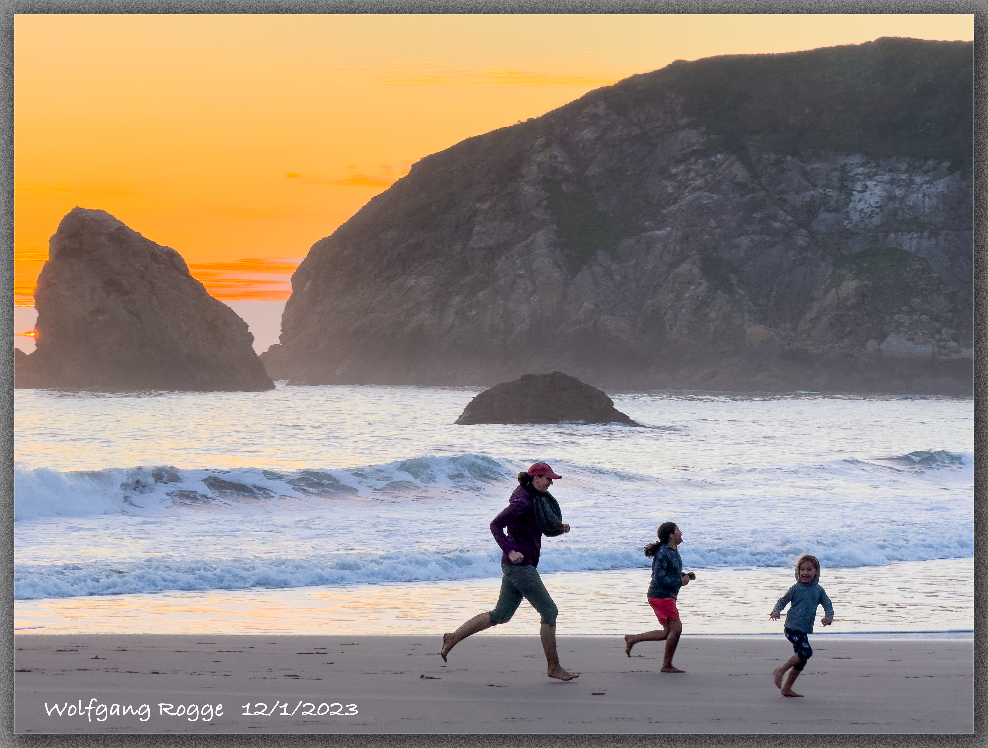
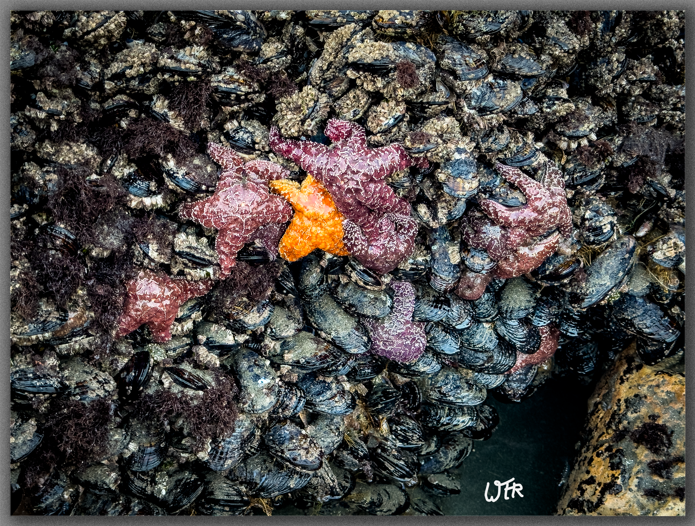
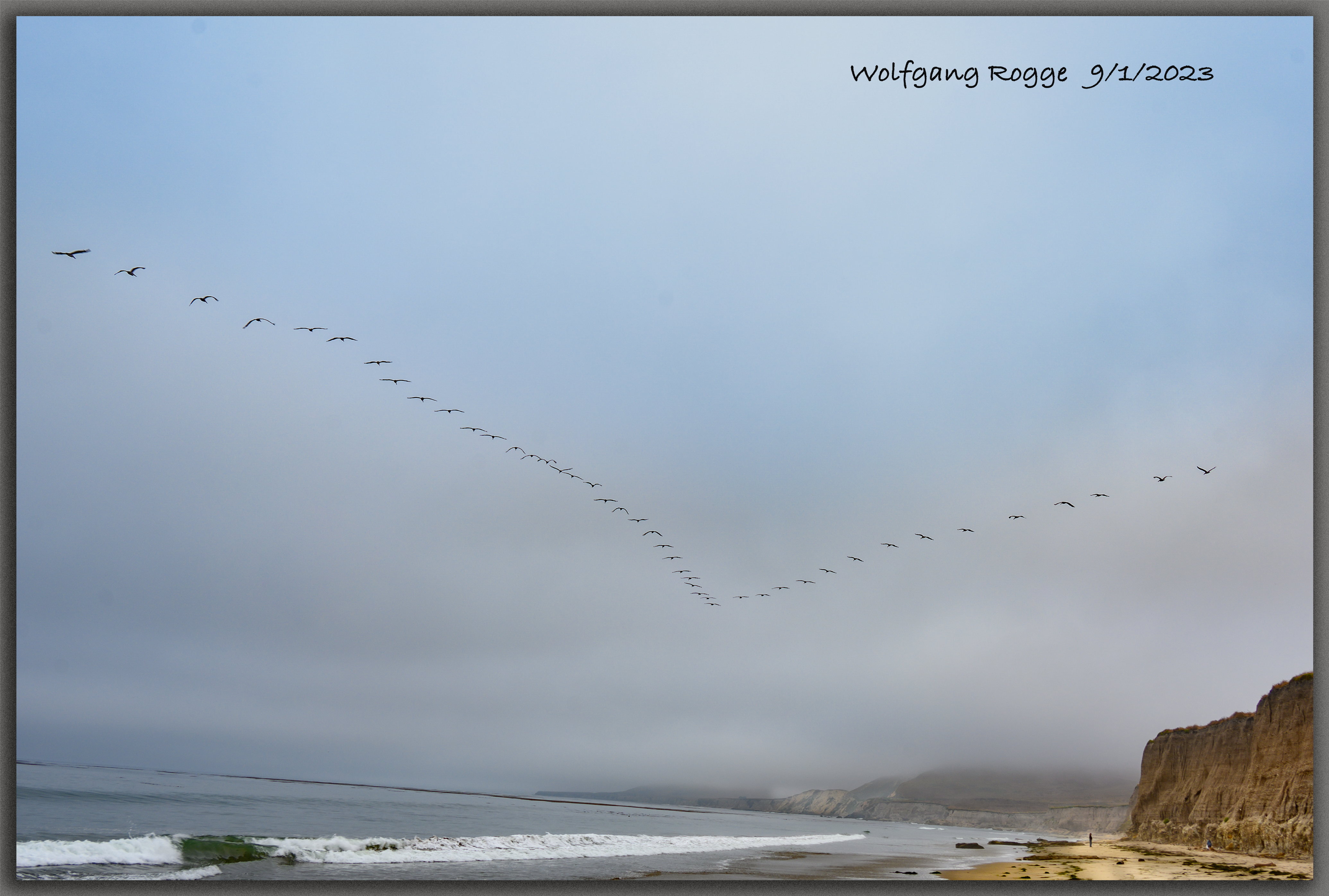
More iPhone Photos from the Oregon Coast
.
..
…
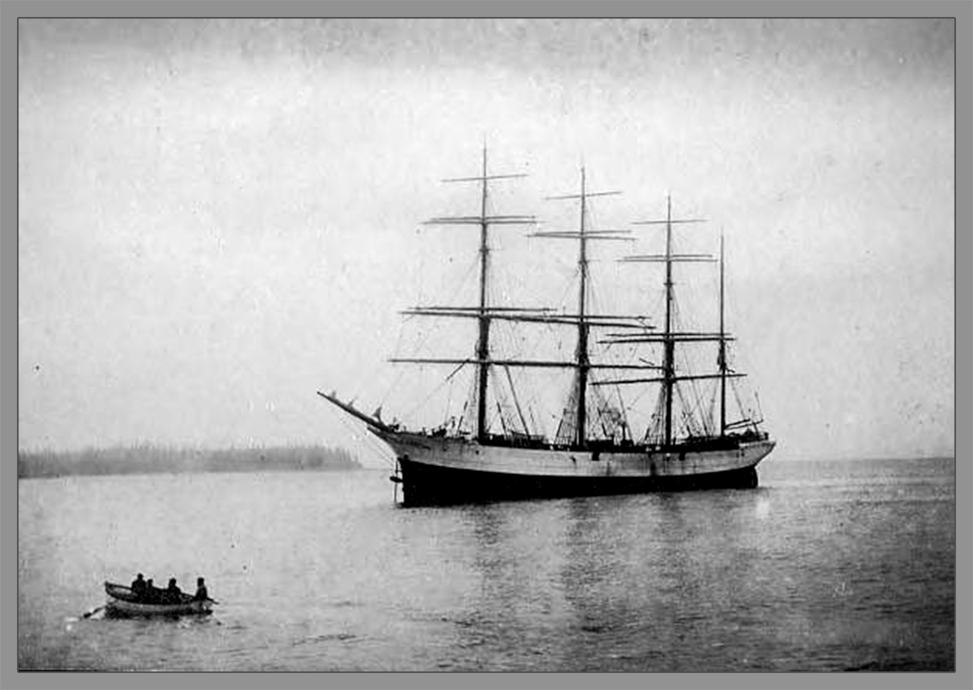
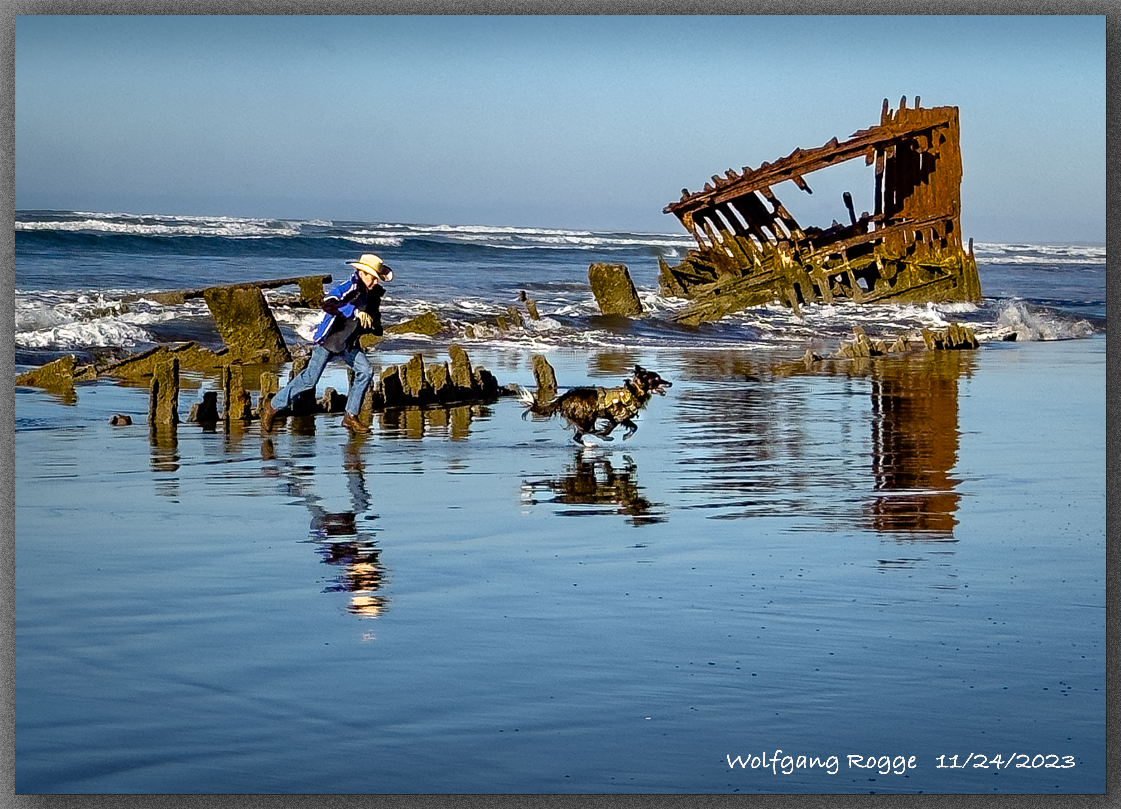
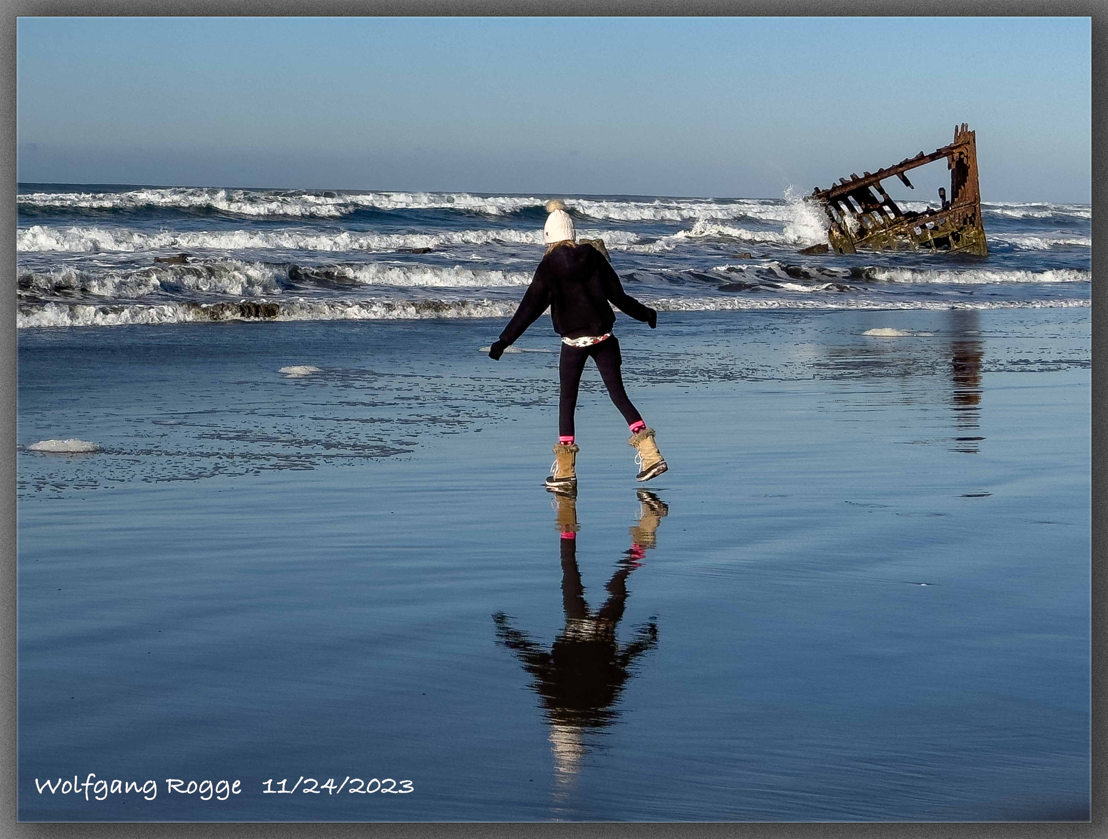
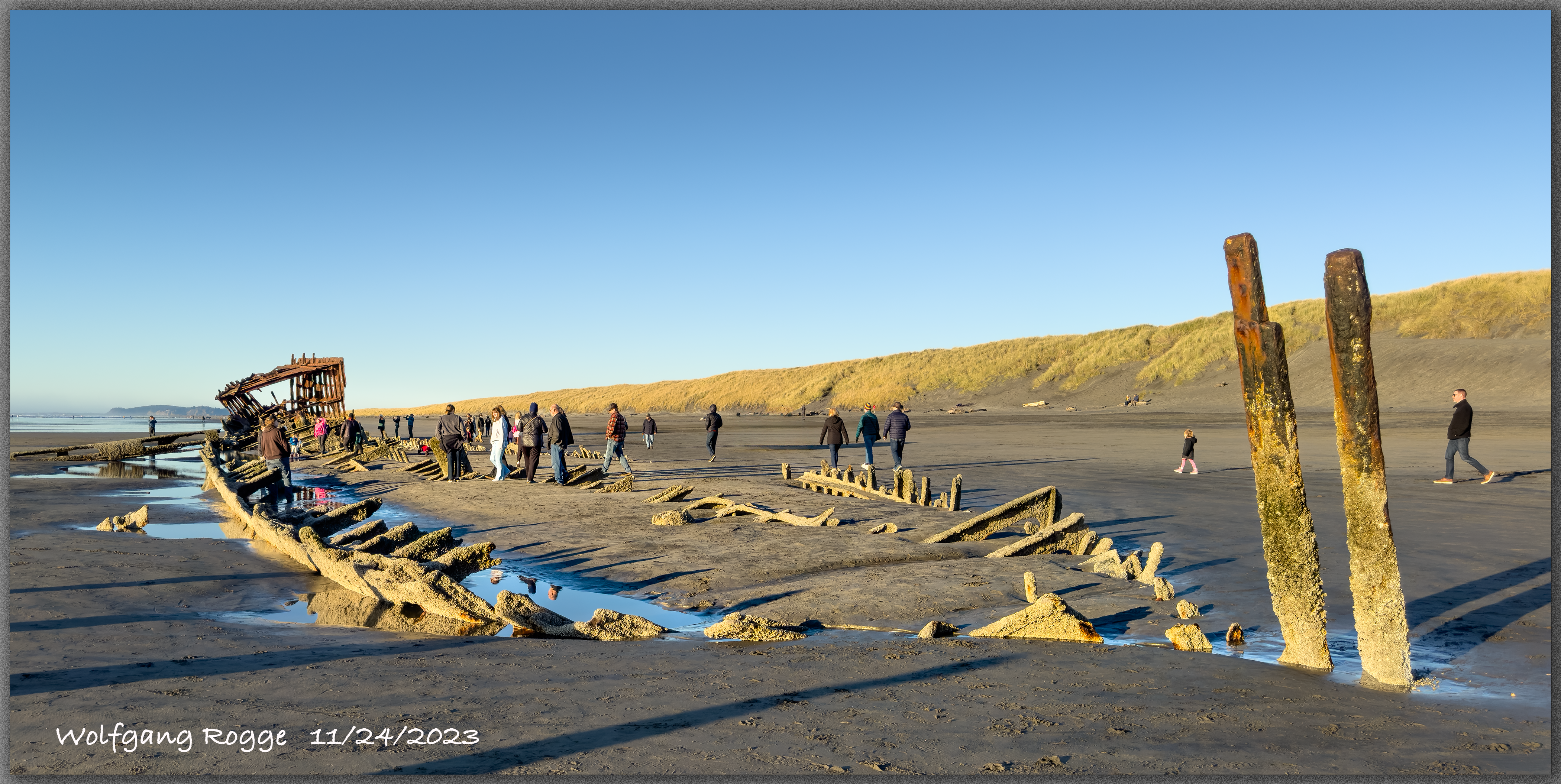
The Peter Iredale, was a four mast iron clad ship built in Liverpool in 1890. In 1906, on its way to Astoria at the Columbia River, the Ship ran ashore during storming sea with little visibility. Today it is a natural playground for kids of all ages and the playing waves.
Here, an archive photo of the Peter Iredale.
All photos shown subsequently were taken with an iPhone 15 pro max, mostly in the raw mode.
.
Lompoc, Santa Barbara County
.
.
I took a view days off from my busy retired life in the mountains and headed to the so much cooler coast.
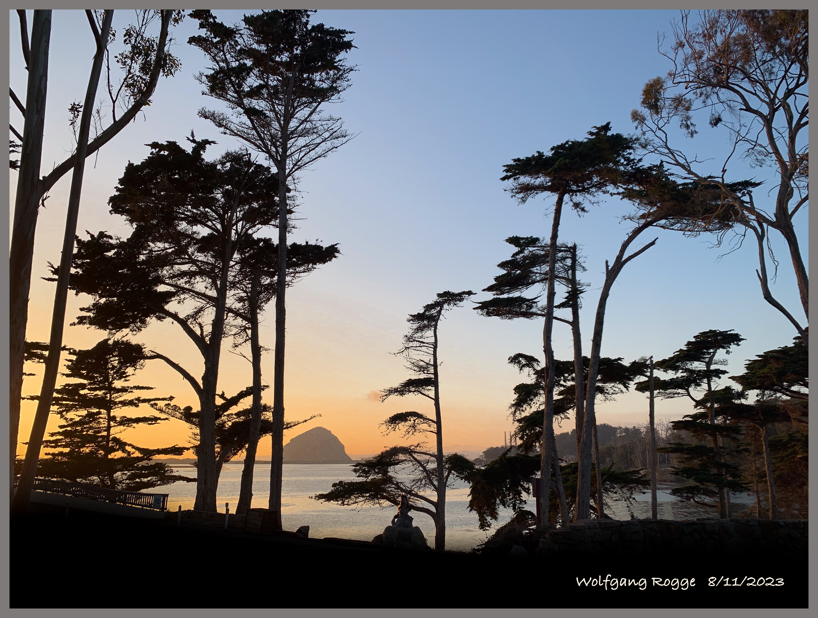
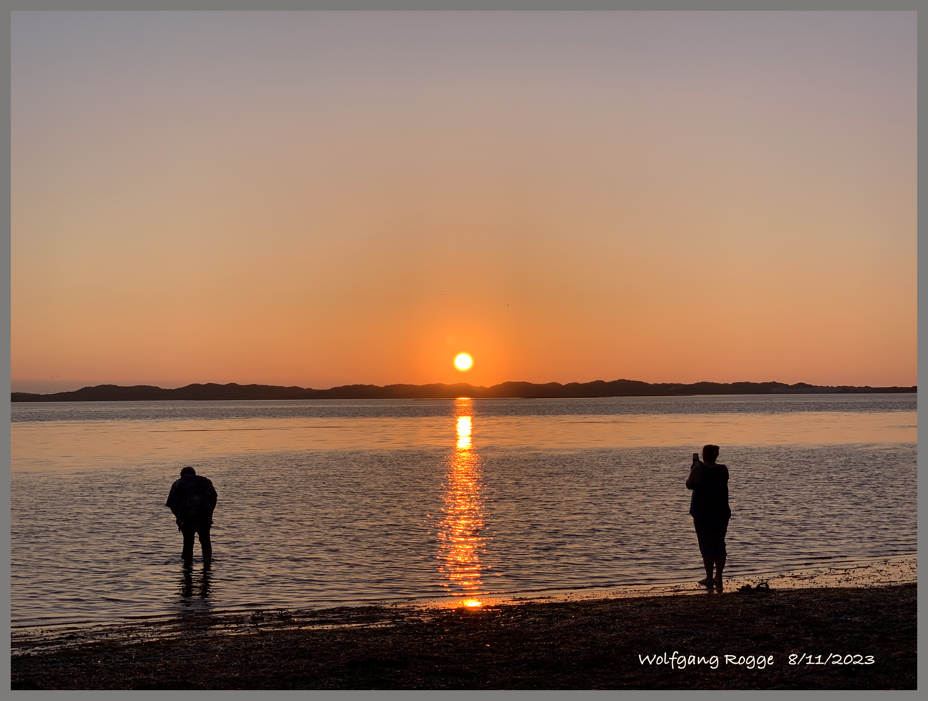
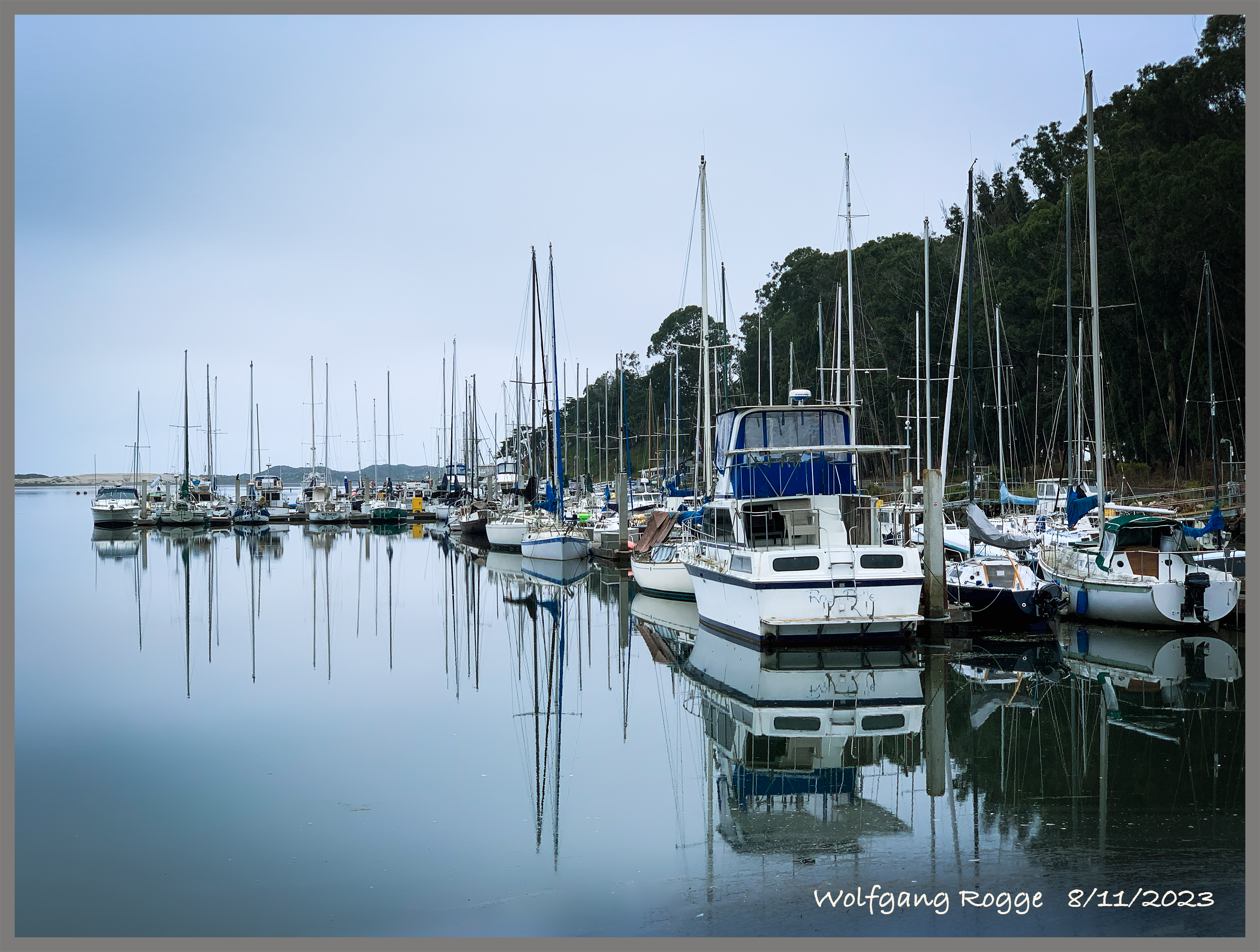
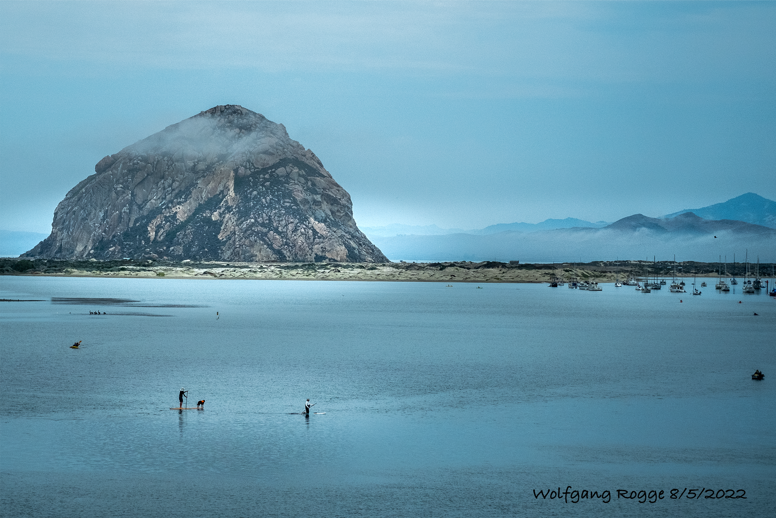
Here a couple of iPhone and Nikon shots at Morro Bay State Park which was dedicated in the 1930s and harbors a pretty golf course and an old campground, also built in the 1930s, with heavy walled structures … to survive.
Another Beach I visited is in Santa Barbara County and is known by Jalama Beach (ausgesprochen: Hä-lama Beach) that was given as a gift by the Richfield Oil Company to Santa Barbara County in 1942. It was once a settlement of the Chumash Native American called Halama. It has an amazing beach with natural tar spots here and there and the Jalama Creek flowing into the ocean. The LA to San Luis Obispo train line is rolling over an old bridge over the creek. The bridge even in daylight looks as being held together mainly by iron oxides.
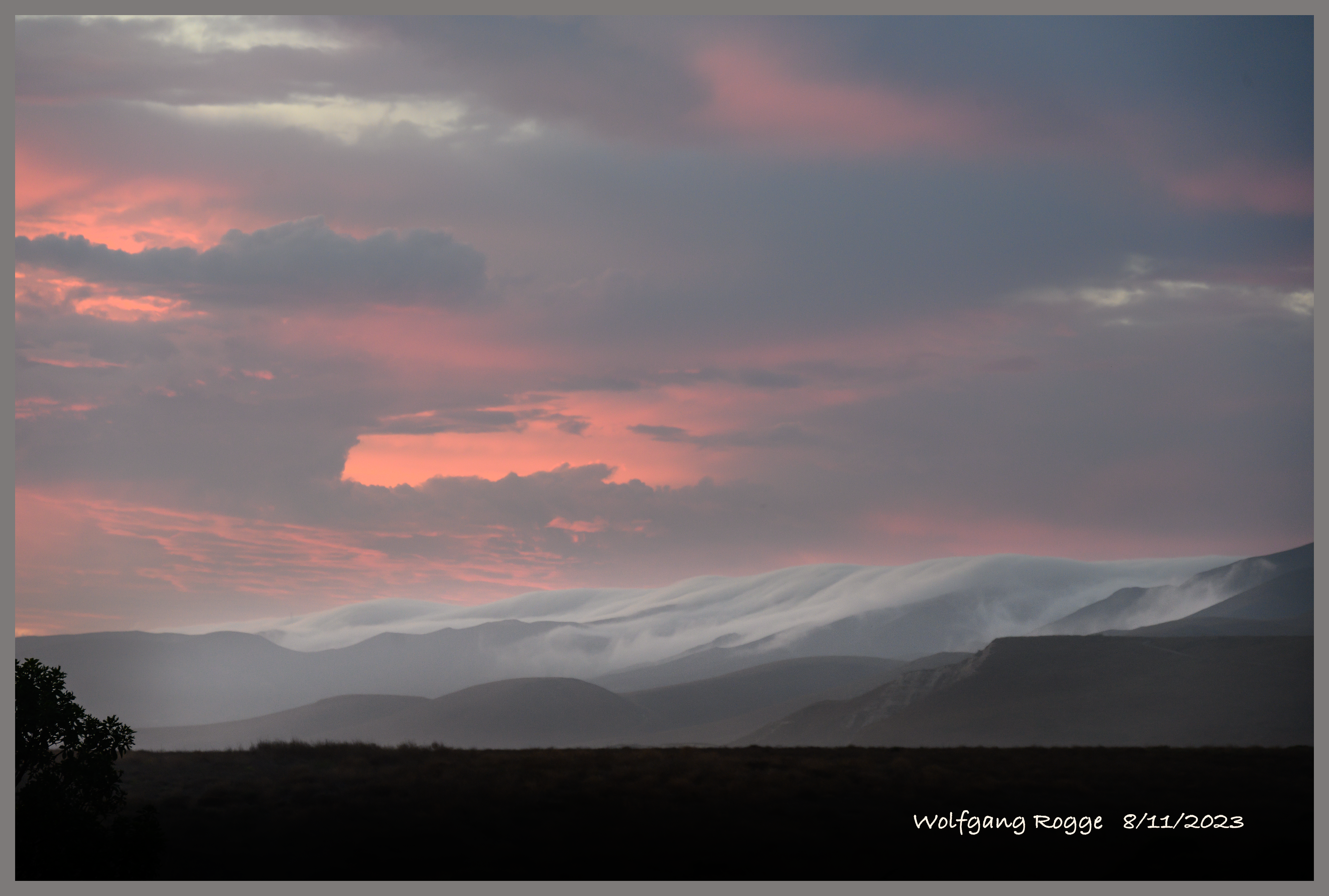
In the evening, the fog rolling over the hills from the Vandenberg “Space Force Base” towards the Jalama Beach.
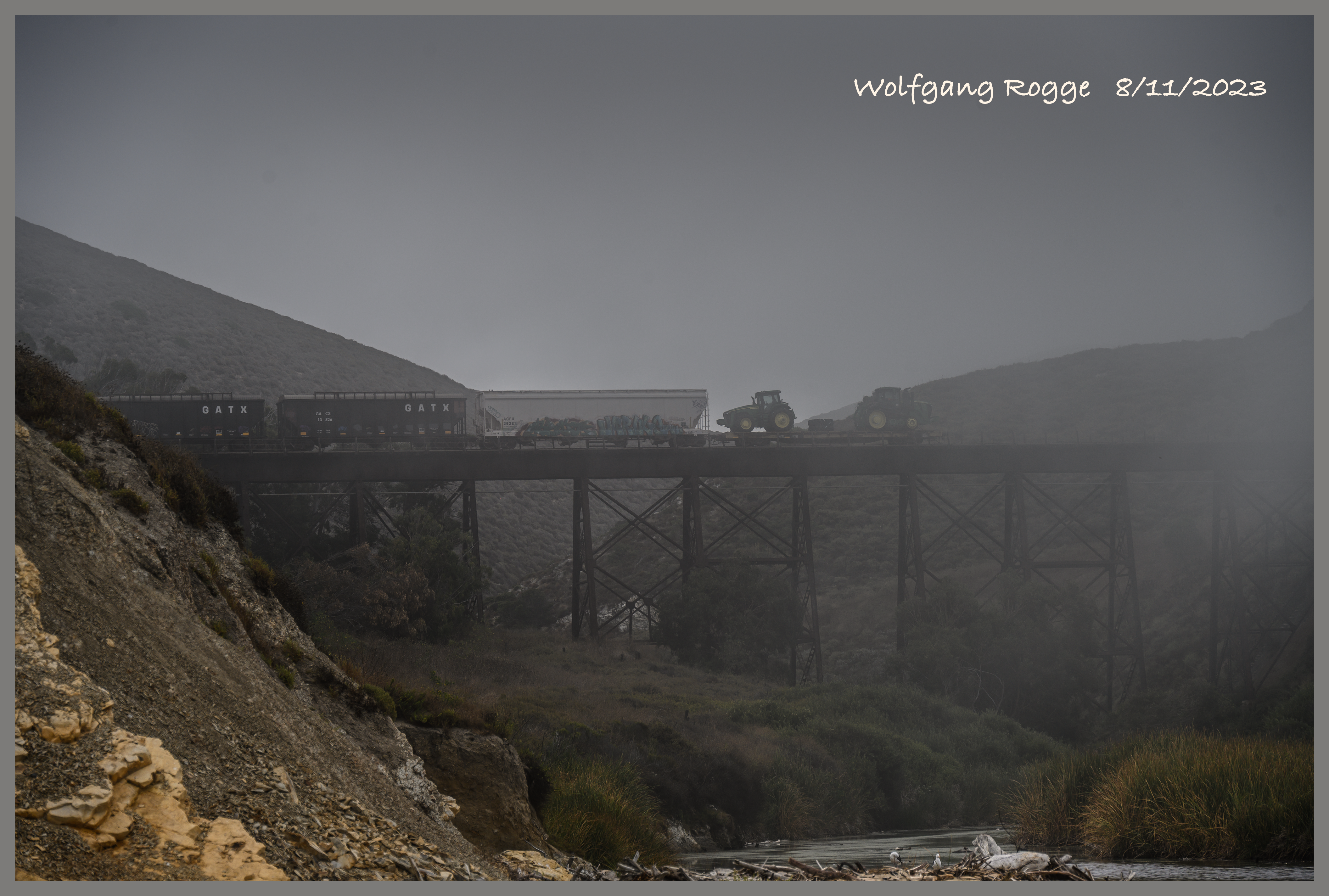
Early in the morning, at the Jalam Beach, a cargo train pushing wagons over the old bridge up north, another lucky crossing…
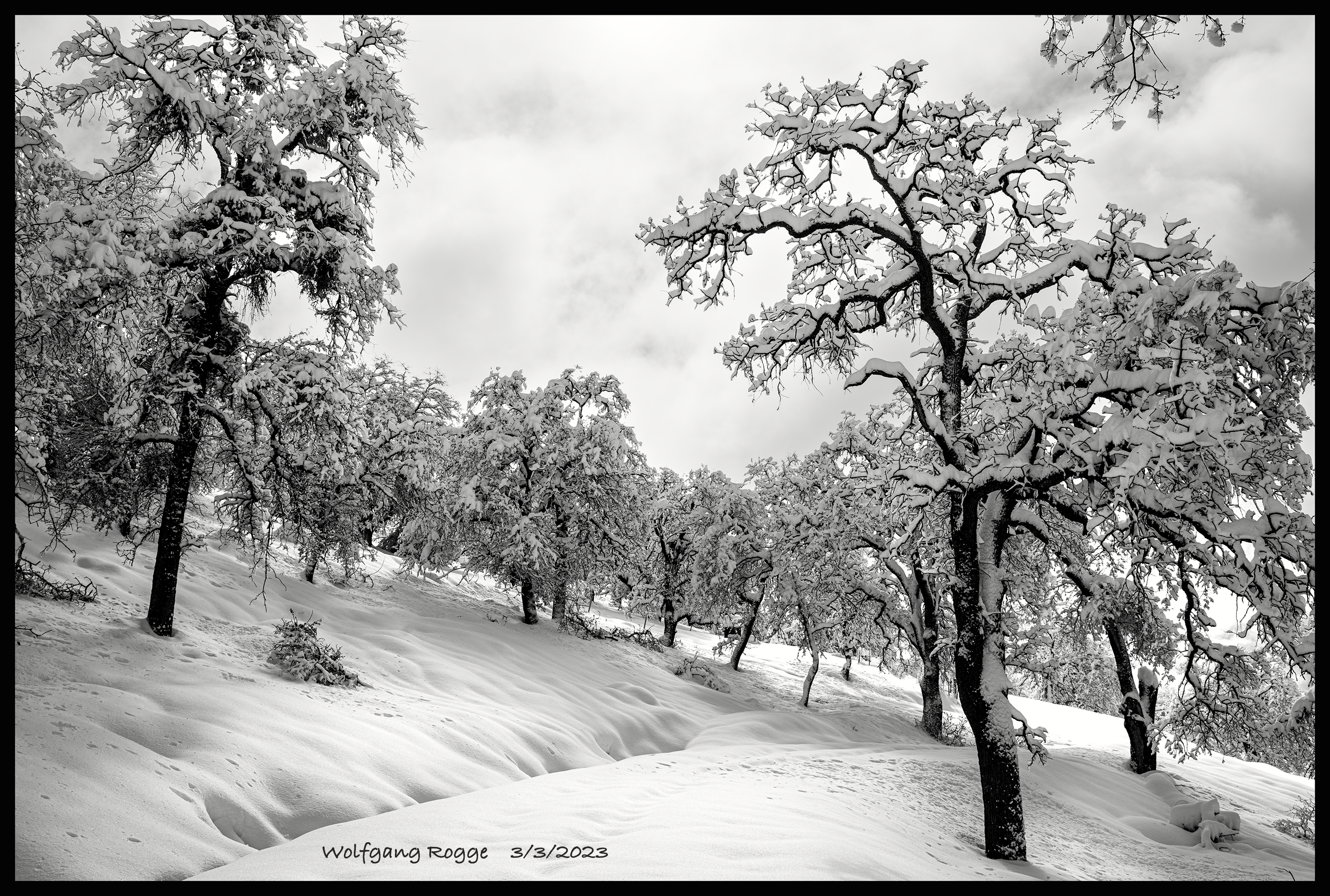
Currently, the Sierra Nevada in California is getting a good “snowing”. For a week already, I am not able to get out. Even if the snow would magically disappear, there are numerous branches and trees laying on the road (dirt road to start with, really).
.
.
.
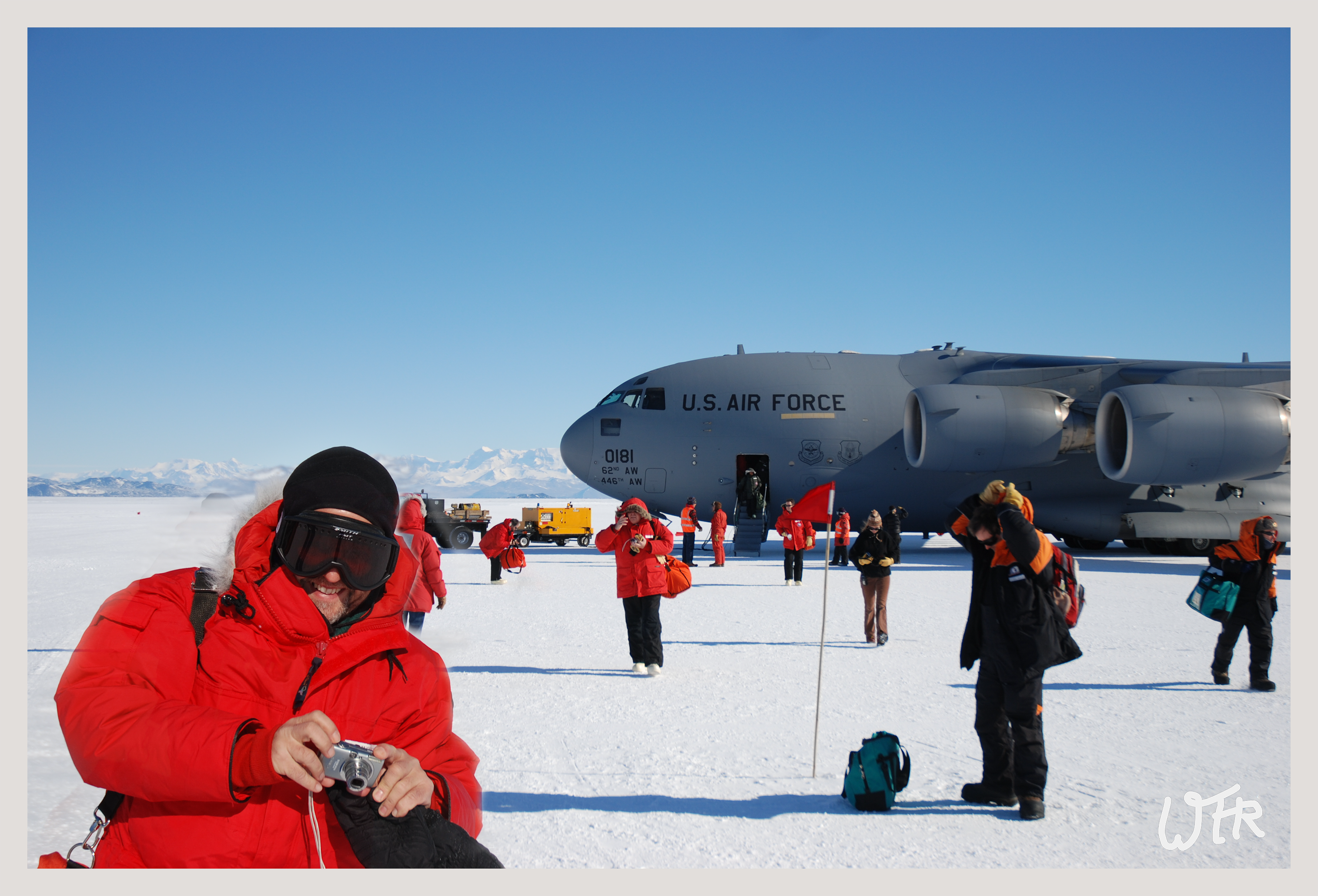
The snowing-in gives me the opportunity to show some old photos from 2008, when I was in the Antarctica doing good old research. Also there, after wanting to leave the West Antarctic Ice Shelf, it took 2 weeks for an airplane to get through, partially due to bad weather.
Here, I am arriving at McMurdo on Ross Island. The plane landed on the frozen ocean. So, under the feet is a thick layer of ice and then ocean.
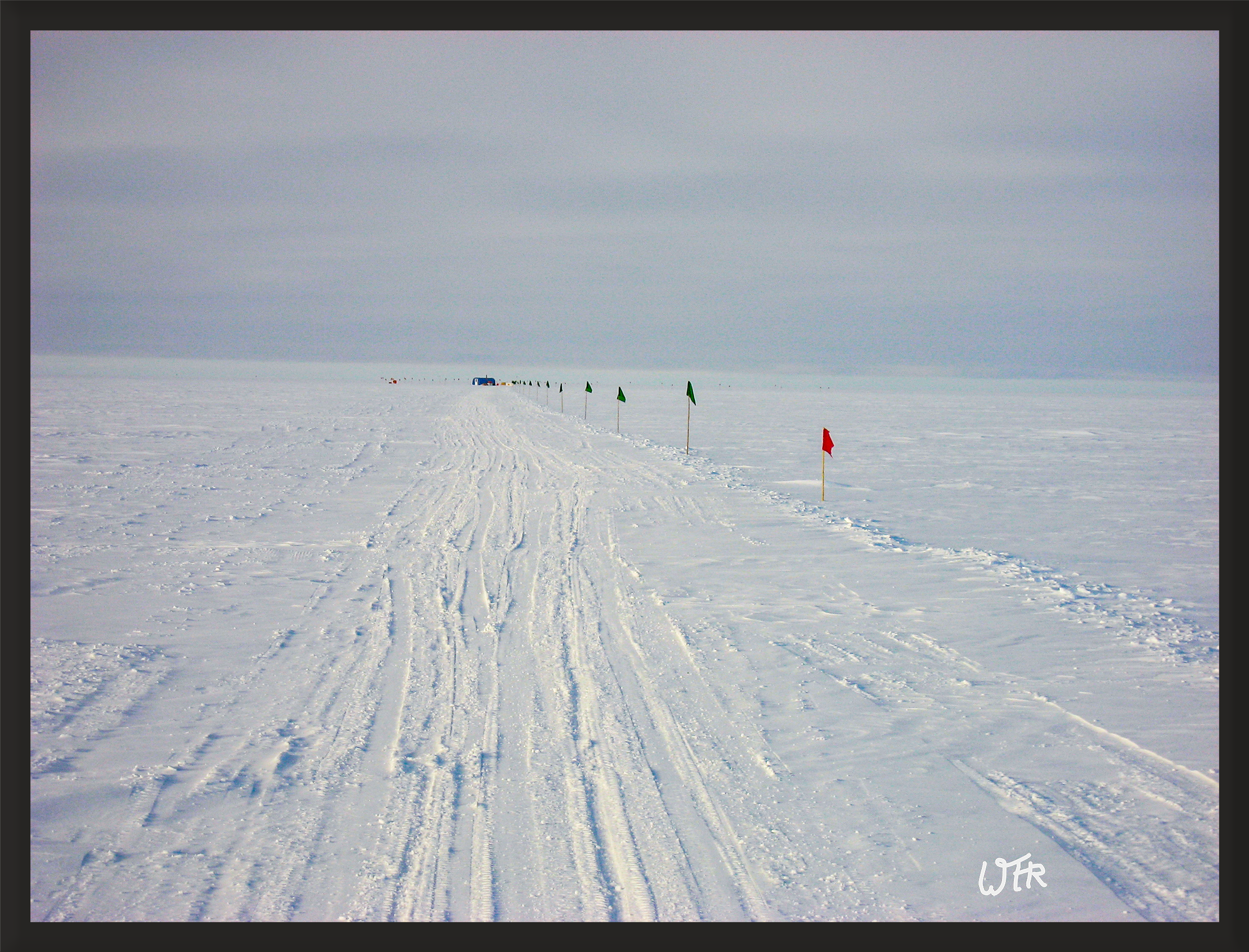
After we did our survival training, instruments check, etc., we left McMurdo to fly to the West Antarctic Ice Shelf. At the location we camped, the elevation was about 2000 meters, with an ice-layer of 3000 meters below us. Here, a photo of our research luxury tent, in the distance, the blue spot. Since we did air measurements, we needed to stay away from the main camp, where an Ice-Core Drilling was underway, all the way through the ice.
Inside the tent, we had all sorts of instruments and a heater, to keep everybody not too cold. An a warm day, it was -30C, which is about -30F. Because of the low levels of stuff we were measuring, only home-made instruments where sensitive enough to detect what we were looking for. Even so the instruments look kinda glued together, they were top-of-the-line.

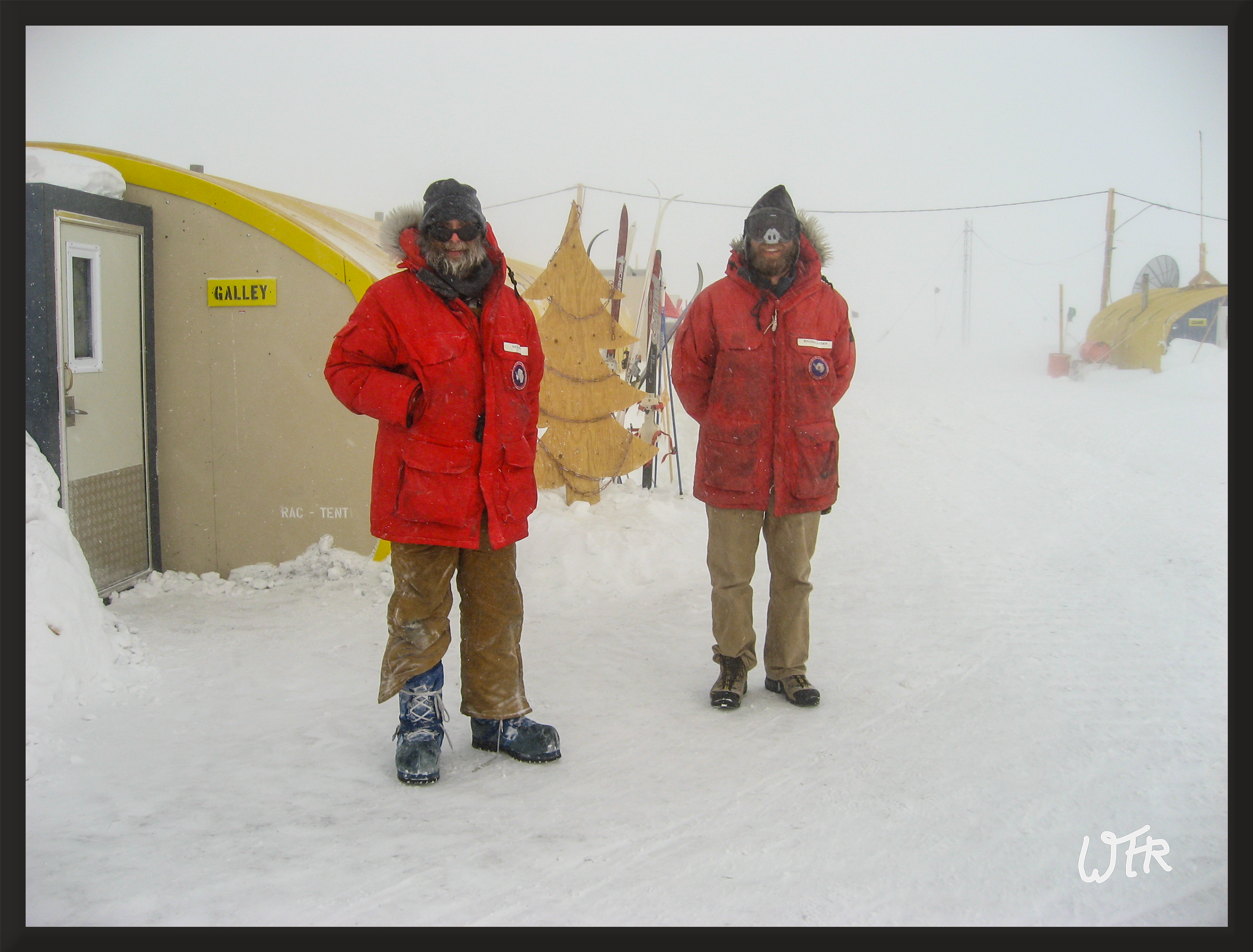
Finally, when the plane arrived, a quick photo of the funny guys. In this camp, there where about 40 people and a bulldozer. The bulldozer was used to push the snow away from the tents.
And here, finally, the air plane is arriving for pickup. Pilots don’t leave the plane and the engines are running while unloading and loading.

Ich wünsche euch Allen ein gutes neues Jahr!
All the Best to All of You for 2023.
California is an odd place in more than one way. Inland, the temperatures stay high, day for day close to 100F (38C). But, along the coast, temperatures are very moderate, often in the low 70F (in the 20C). Driving away from the coast inland temperatures quickly go up. So, after all the fires we had in Mariposa and the constant heat, it was nice to hang out in Morro Bay.
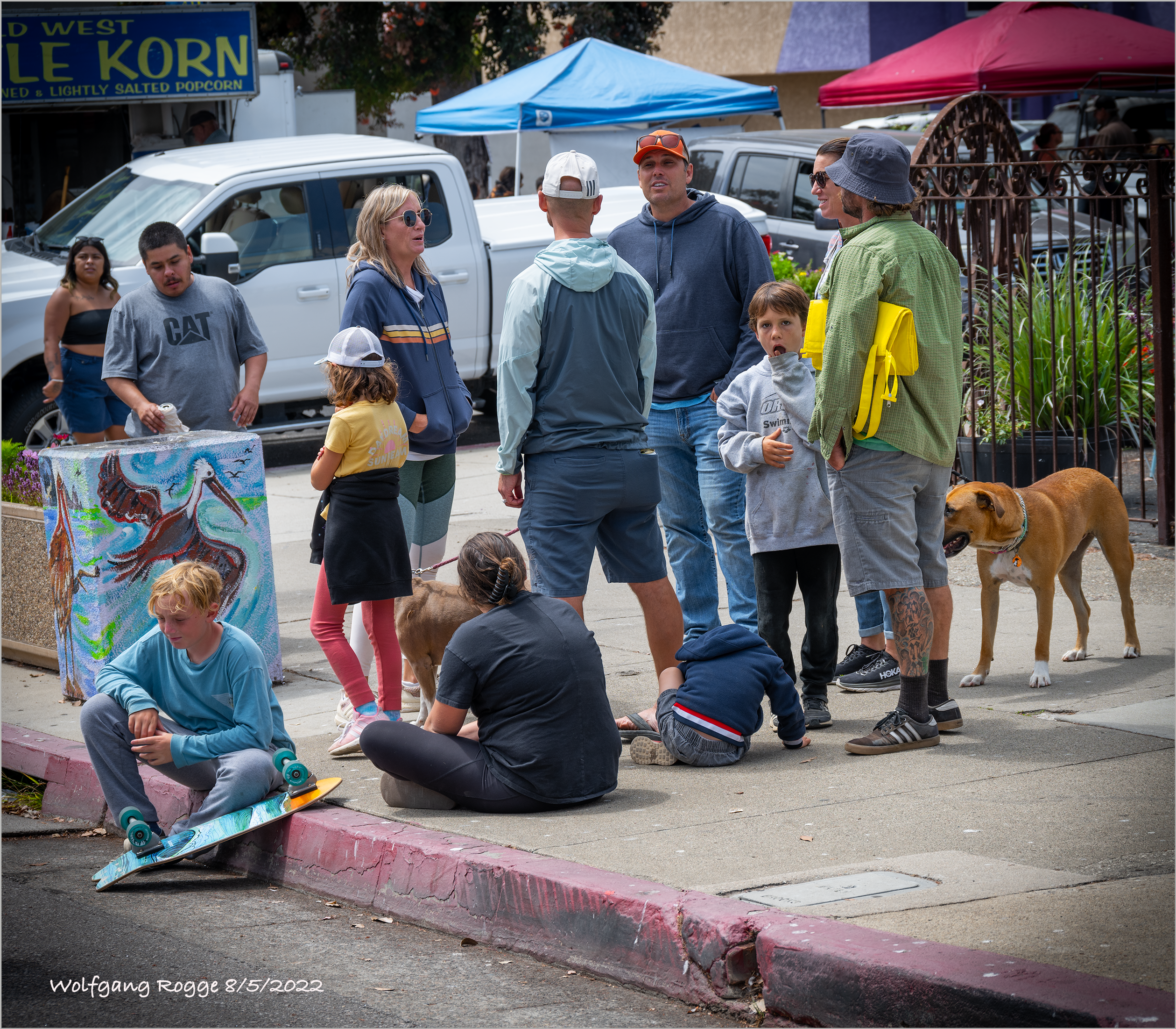
Walking through the Saturday Market, seeing people wearing sweaters feels good. Even the doggy can come along, inland at a 100F that would be a crazy thing to do.


The beauty of the coastal area along Hwy 1 is always spectacular. Enjoy!