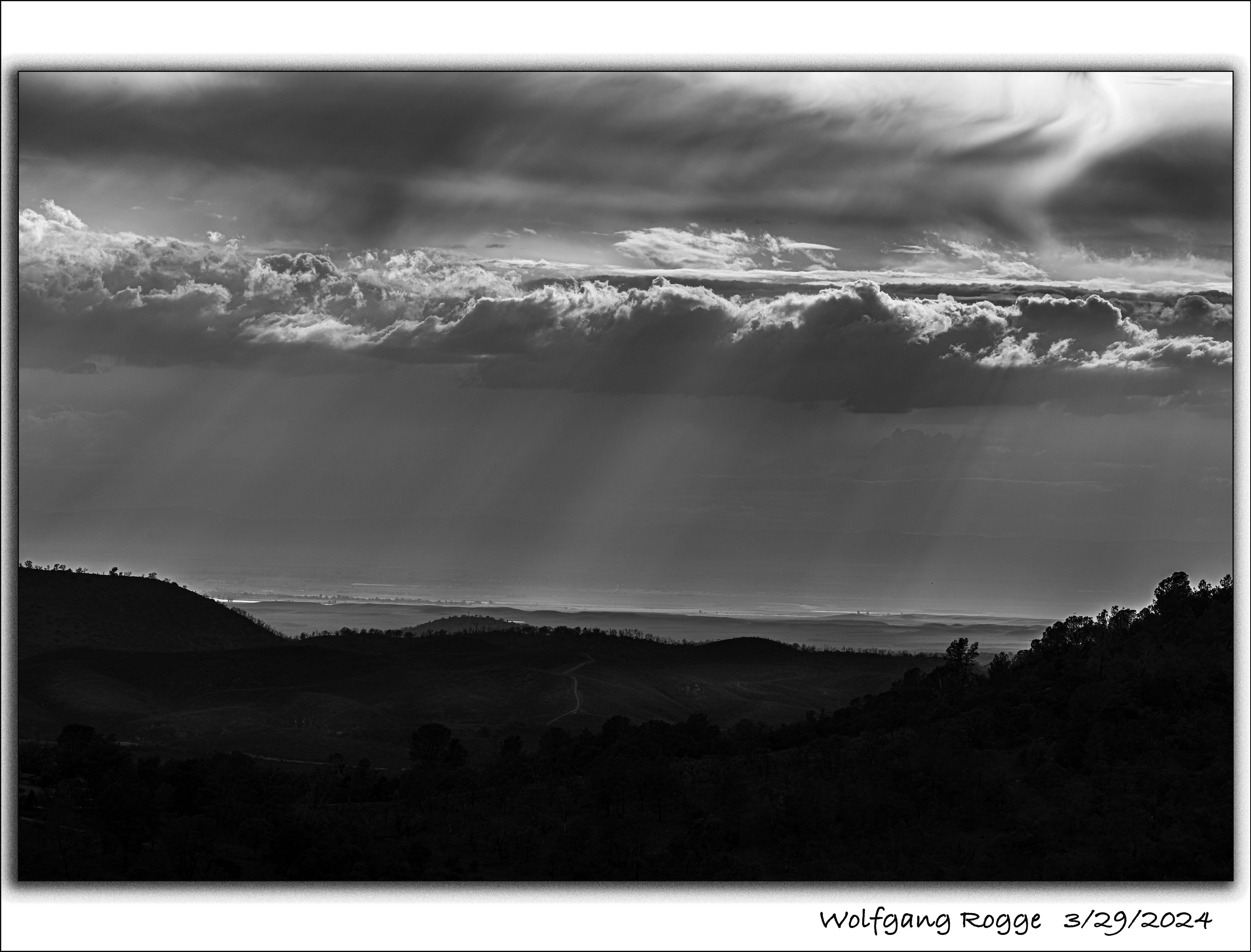
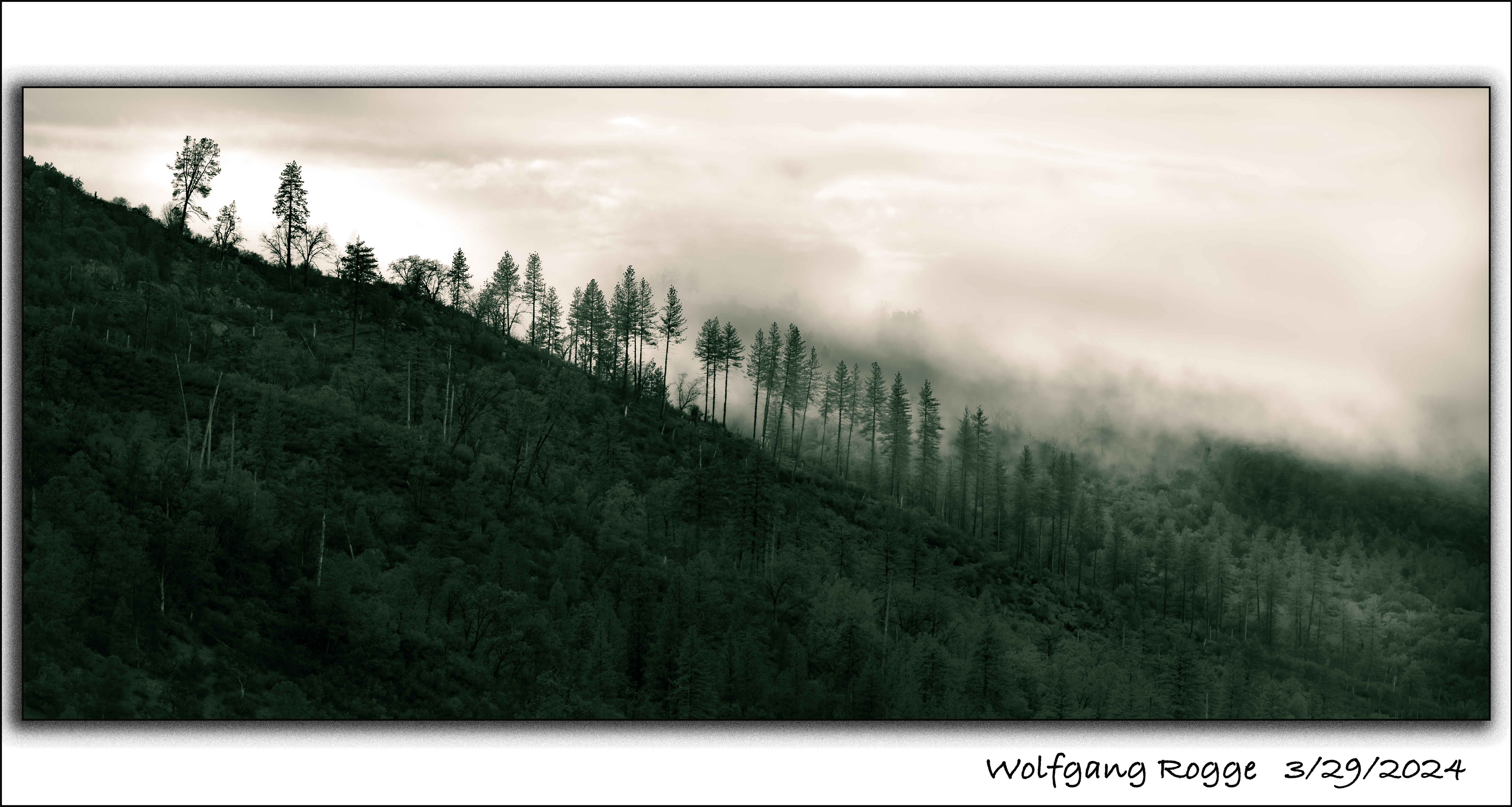
Unfortunately, my Rogge Mountain Ranch got substantially burned, roughly 20 acres. Luckily, the airplanes dropped many loads of fire retardant to keep the fire away from house and home. Here are some iPhone impressions I collected a few days after the fire and some more just a few days ago.
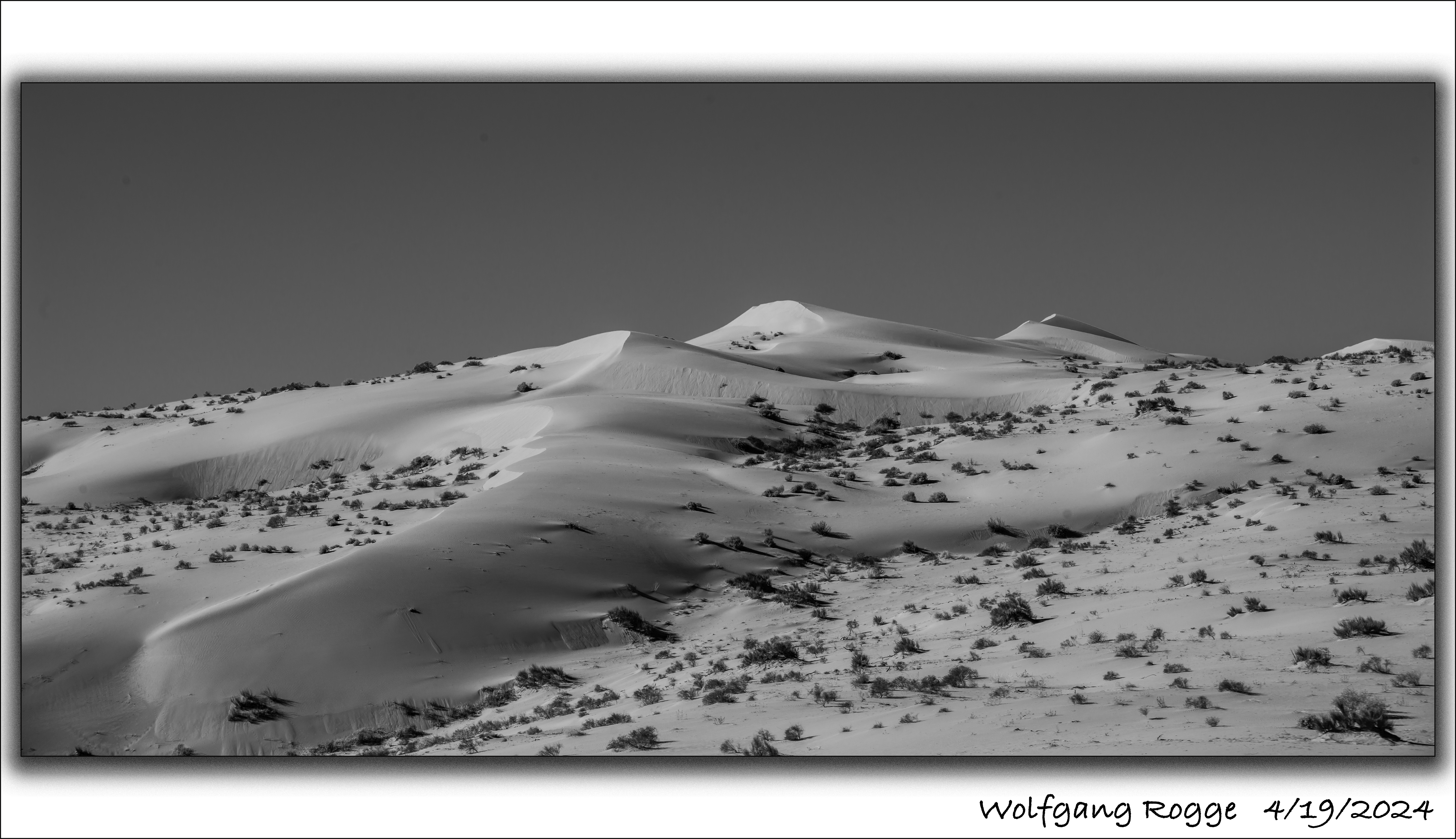
The Algodones Dunes are a large sand dune field (45 miles by 6 miles) in the southeastern portion of California, east of the present day Salton Sea (currently -236 ft below sea level). Typically, the Colorado River flows south to the Sea of Cortez (Gulf of California). But, once in a while, due to several reasons, the ancient Colorado River spilt into the present day Salton Sea area and a freshwater lake developed, called Lake Cahuilla. The last Lake Cahuilla covered much of the Imperial, Coachella, and Mexicali Valley, and occurred as late as 1450. The most popular theory suggests that the Algodones Dunes formed over thousands of years from the windblown beach sands of landlocked Lake Cahuilla, especially when it’s water slowly evaporated and the aeolian processes picked up the finer sediments in this forming arid environment.
Today, the Algodones Dunes is used by men and women who are in need of driving sand buggies around and around until all beer is spilt or the gasoline tank is empty. Luckily, some parts are closed off for sand buggies. The photo shown here is from the closed off area.
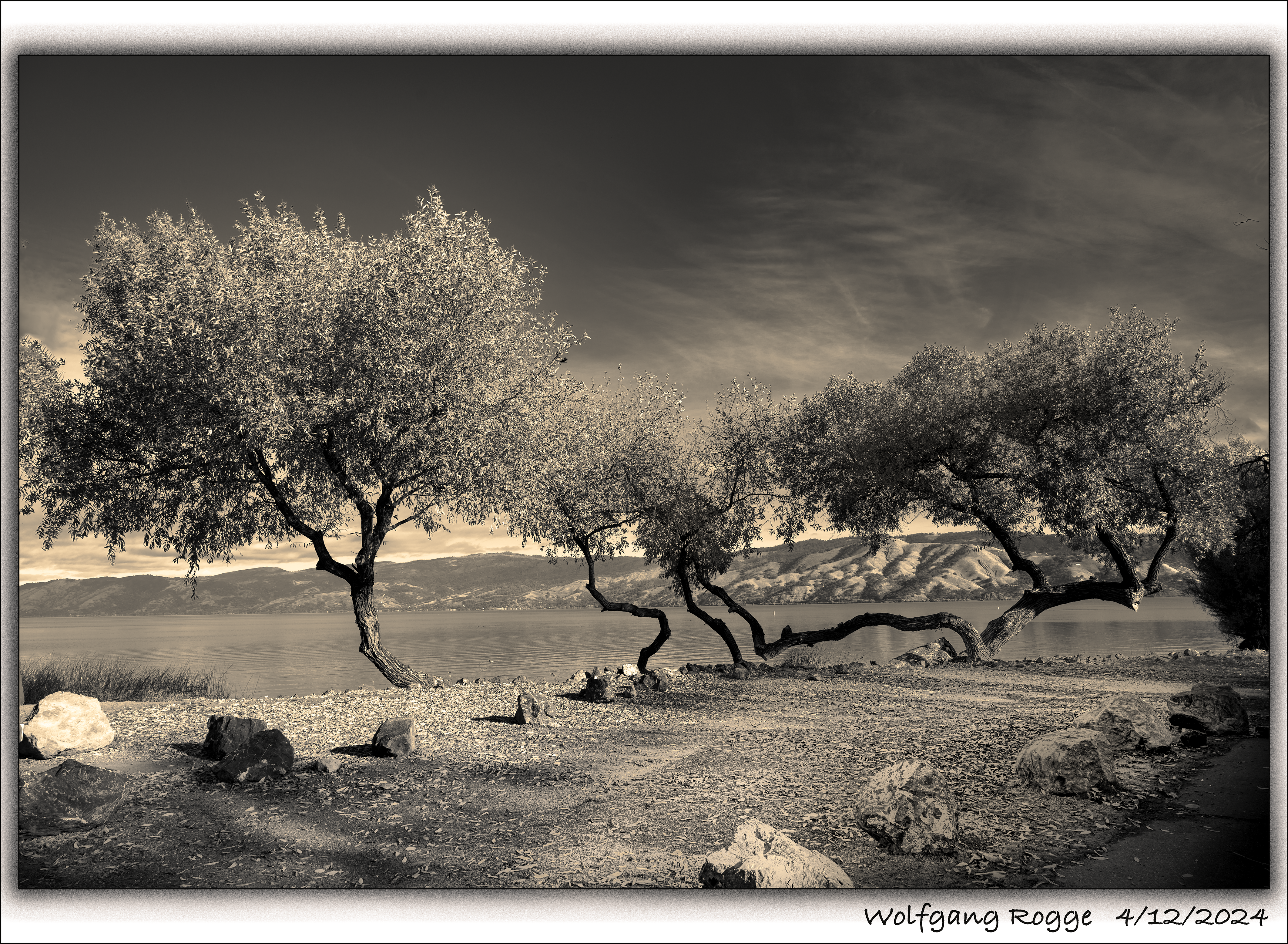
Lucky us that Clear Lake is not a National Park! So, it’s easy to get there, no Disney Type Environment. Just the largest freshwater lake in California, with 68 square miles of surface area. It has cool campgrounds along it’s shore. Here, a photos at my campsite, a while back.
Das San Joaquin Valley ist weltweit der größte Erzeuger von Mandeln und somit die Basis des lebensnotwendige Marzipans! I love Marzipan…
Who does not love Marzipan Pigs, Marzipan Stollen, Marzipan Kuchen, Marzipan Poppyseed Cheesecake? And then there is also Mazapan, a Latin American speciality containing peanuts and almonds. Almonds make farmers rich, an annual 6 Billion Dollar Business in California. By the same token, Almond Trees are extremely water thirsty. A little Almond Tree easily pulls 30 gallons (120 Liter) per hour out of the ground during a hot summer day. Now, think 2 million Almond Trees….. On the other hand, the US Geological Survey reports continued land subsidence (sinking land) due to over pumping of ground water. Since 1920, in some parts, land has been sinking down up to 100 feet (30 Meter). Could the loss of ground water be replenished and the land be lifted back up again? Unfortunately, not. Simply, between layers of ground water strata there are horizontal layers of clay which act as watertight barriers, essentially “swimming on top” of the ground water strata. Deep well pumping of water causes such clay layers to collapse, reducing, as a result, the capacity to store ground water even if a lot of water could be available in the future to replenish prior excessive over pumping. Sinking land causes infrastructure damage. For example, sewer typically is transported by gravity flow from homes to the sewer treatment plant. Unfortunately, if land sinks, sewer has then to be pumped, needing a completely new and more expensive pipeline system. Anyway, a little less “Almond Crazy” could go a long way. Still, I loves Almonds.
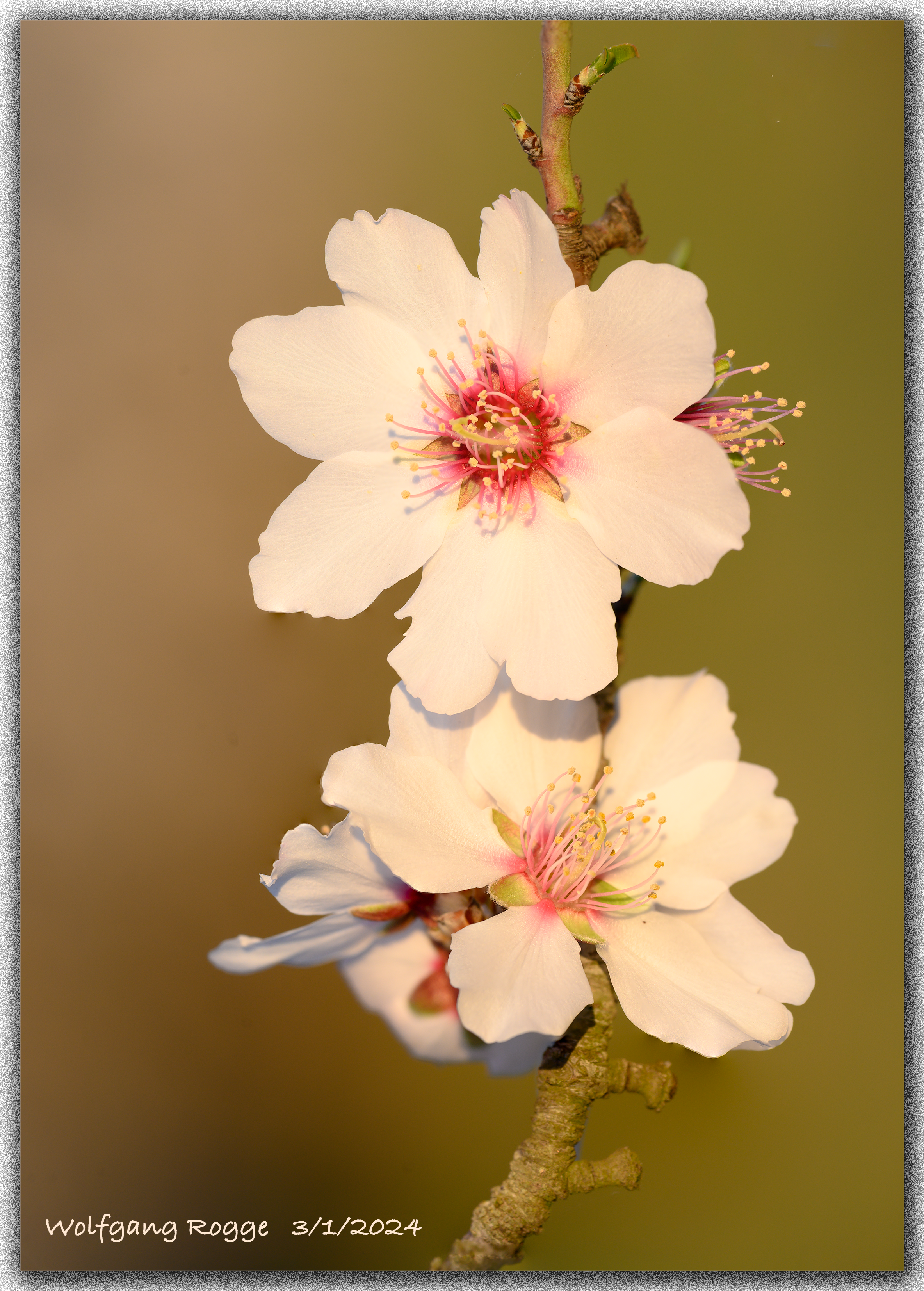
Currently, the Almonds are blooming. Here, my first Almond Blossoms.
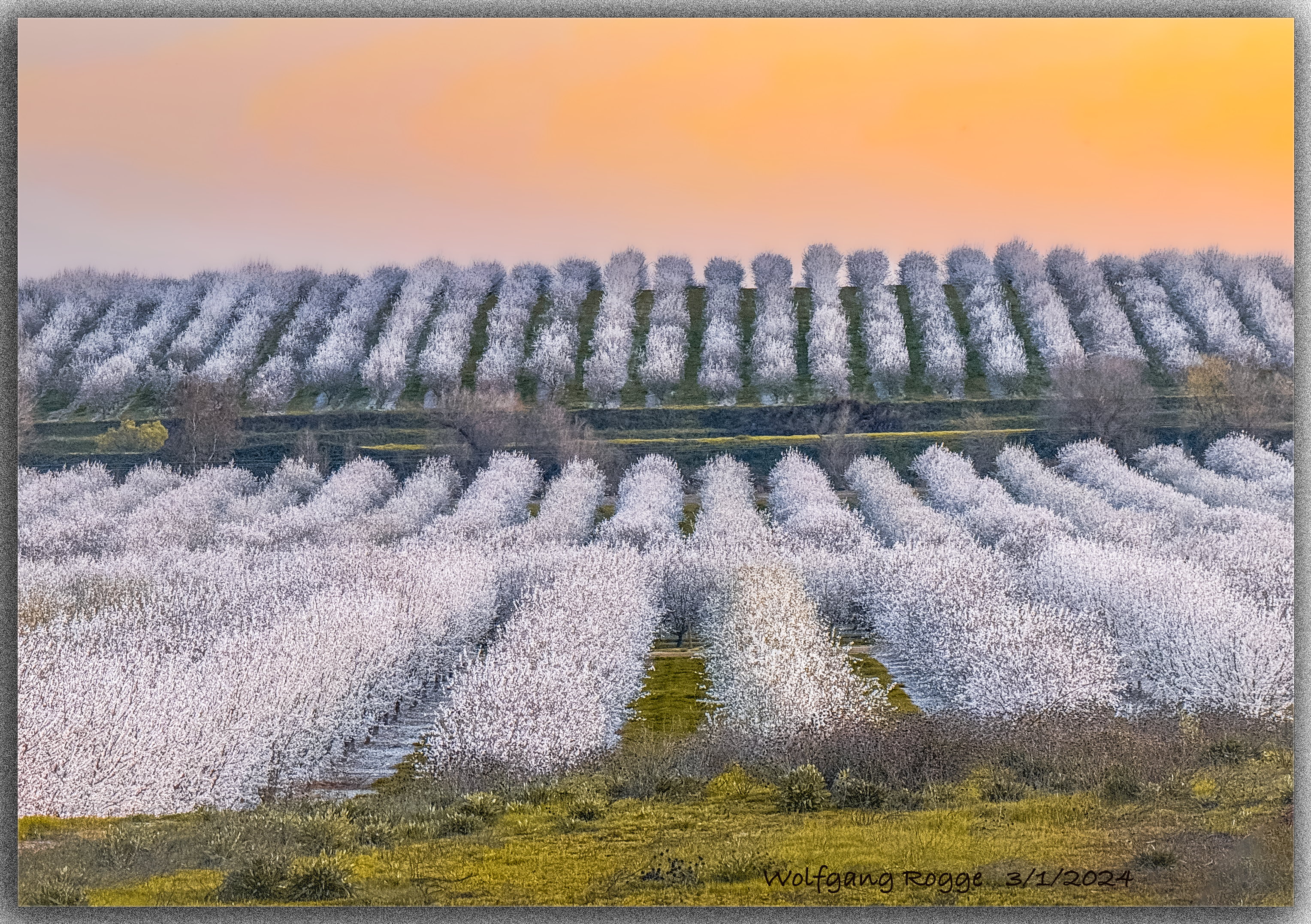
Going far and wide in search for a little hill to pop up in the otherwise flat San Joaquin Valley to generate the lovely Almond Orchard photo. Enjoy!
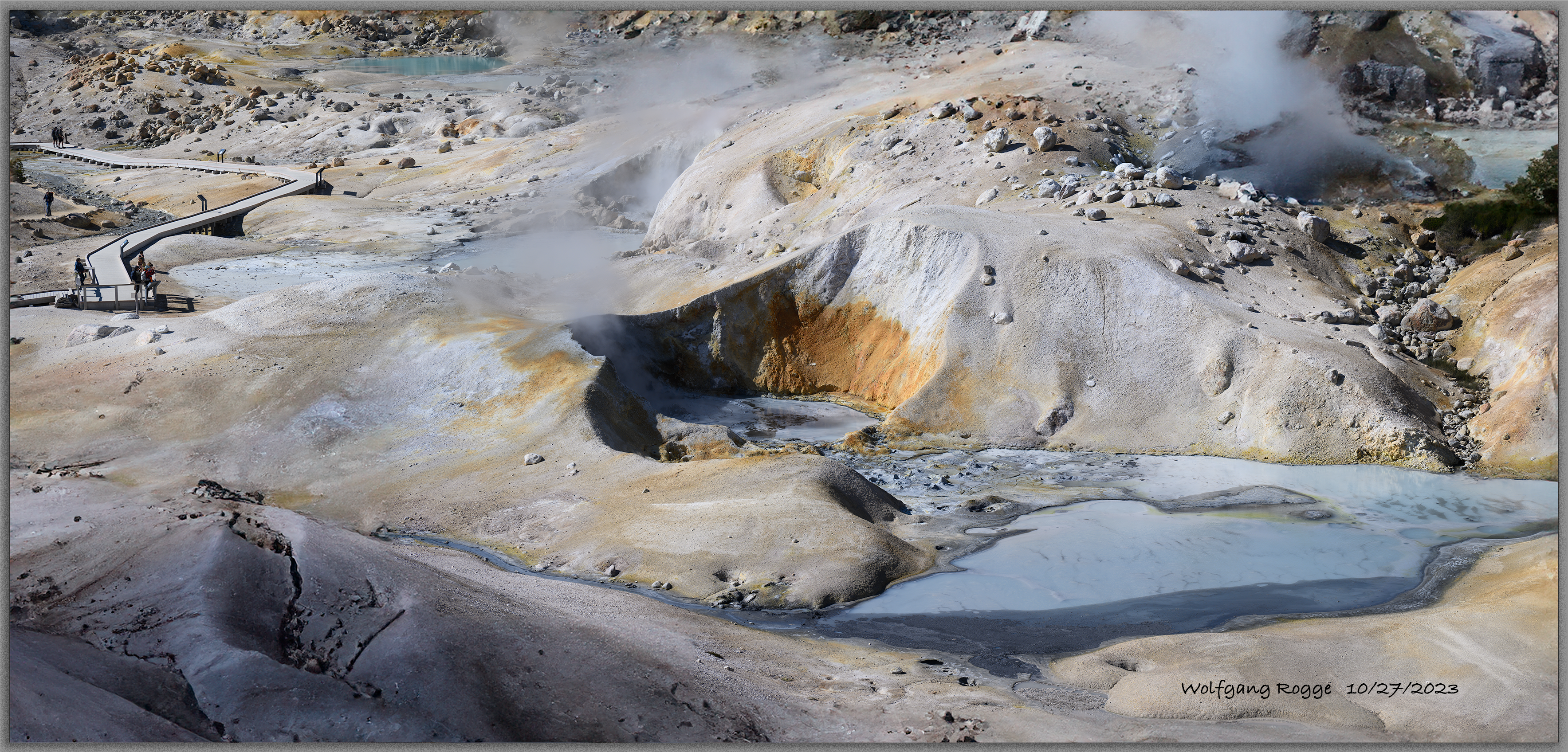
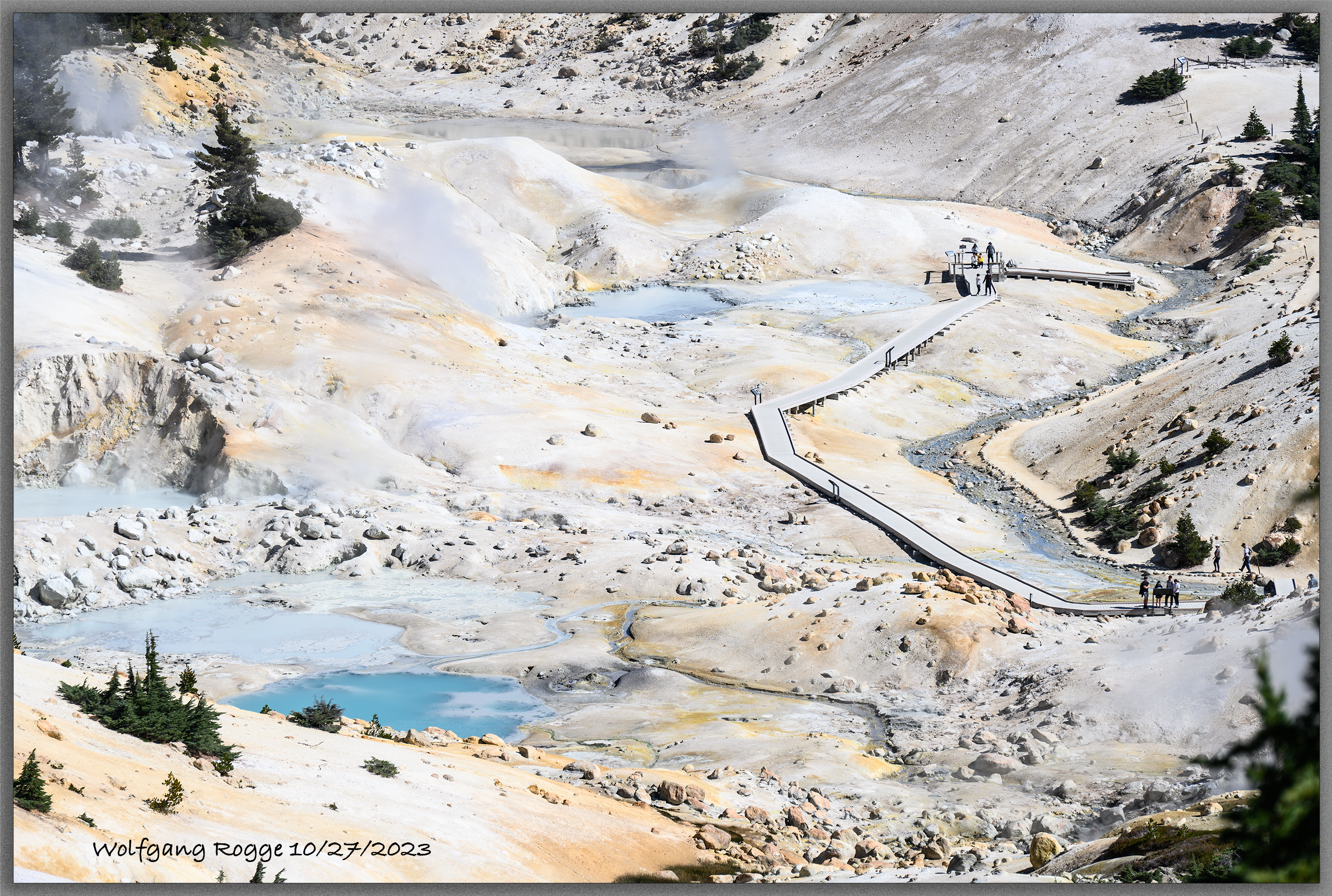
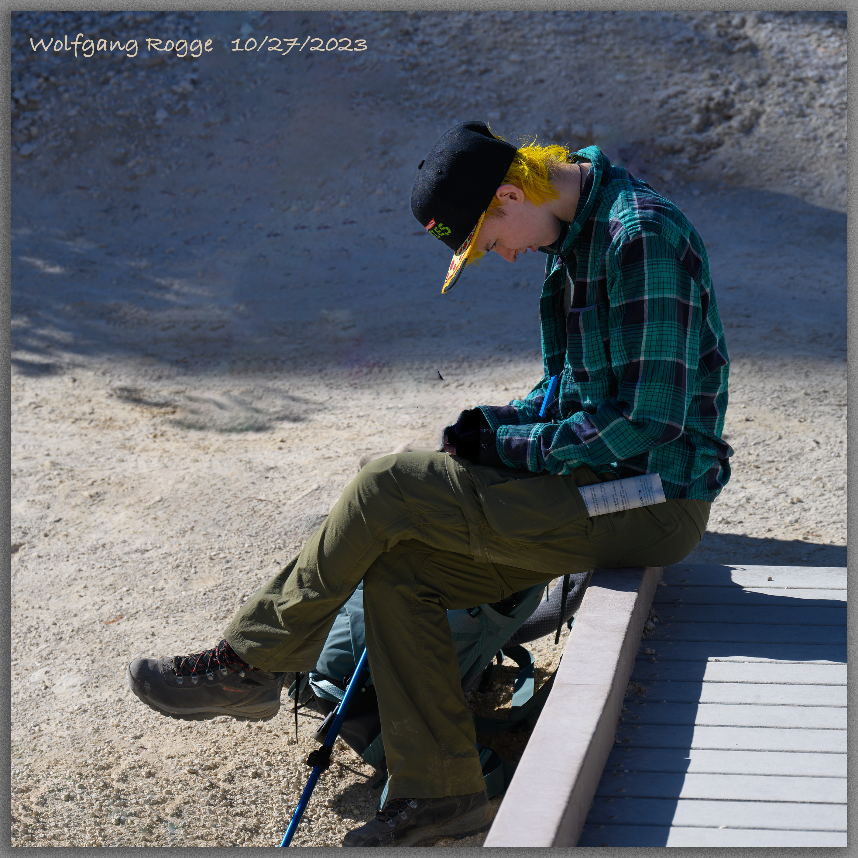
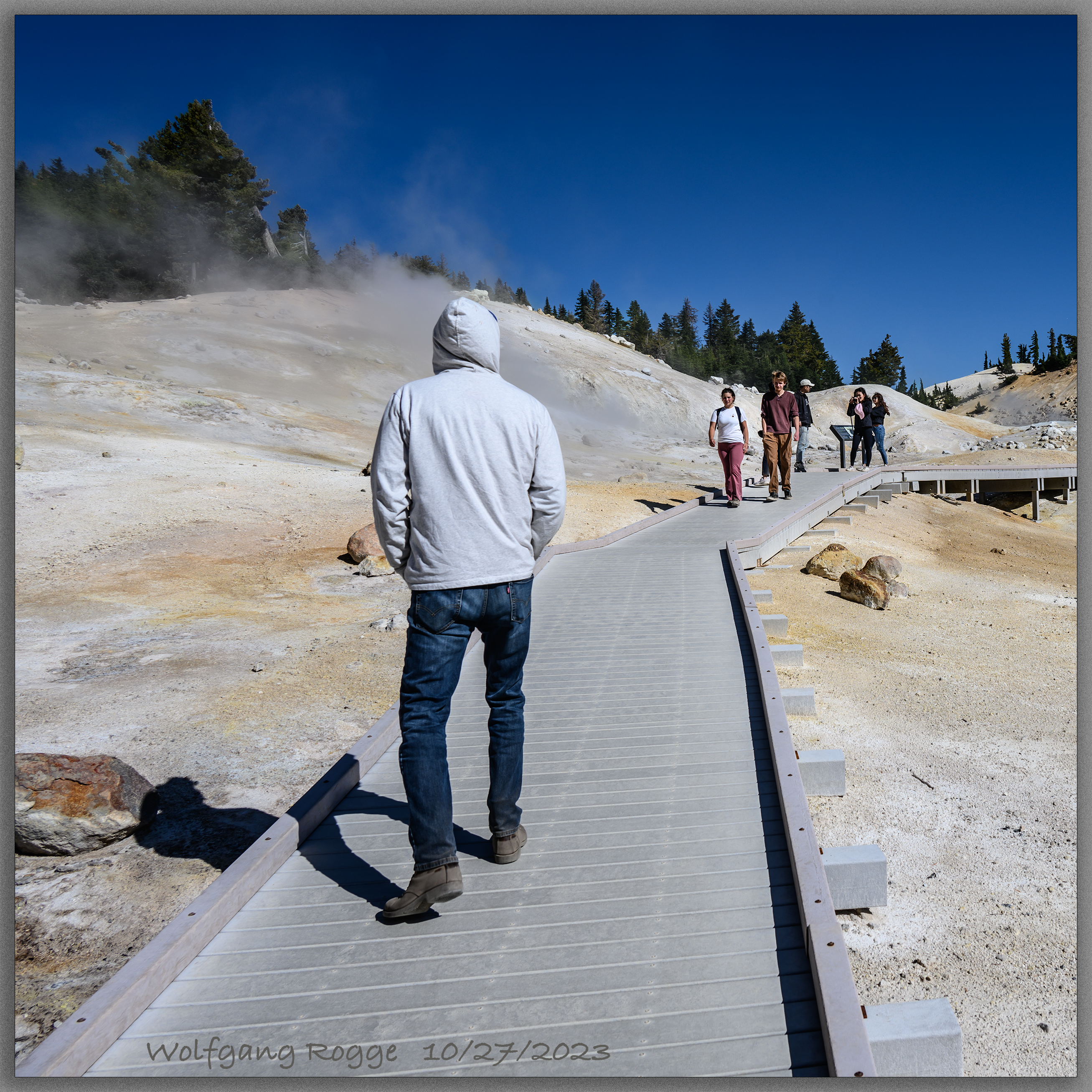
Bumpass Hell is part of the Lassen Volcanic National Park in Northern California. Lassen is one of the few places on the globe where all four types of volcanoes are located next to each other, even in multiples. Aside the shield, cinder cone, and stratovolcano, it harpers the largest plug dome volcano worldwide. Yet, when volcanoes are peaceful, they are a bit boring and difficult to hike. Not so Bumpass Hell, where everything is hot, babbling sulfur smelling steam emanating from the ground. If you are a believer of fairytales … hell is just around the corner … even vegetation stays away from hell. Nowadays, even hell has to be manageable, so people are kept out of harms way by letting them walk on artificial walkways.
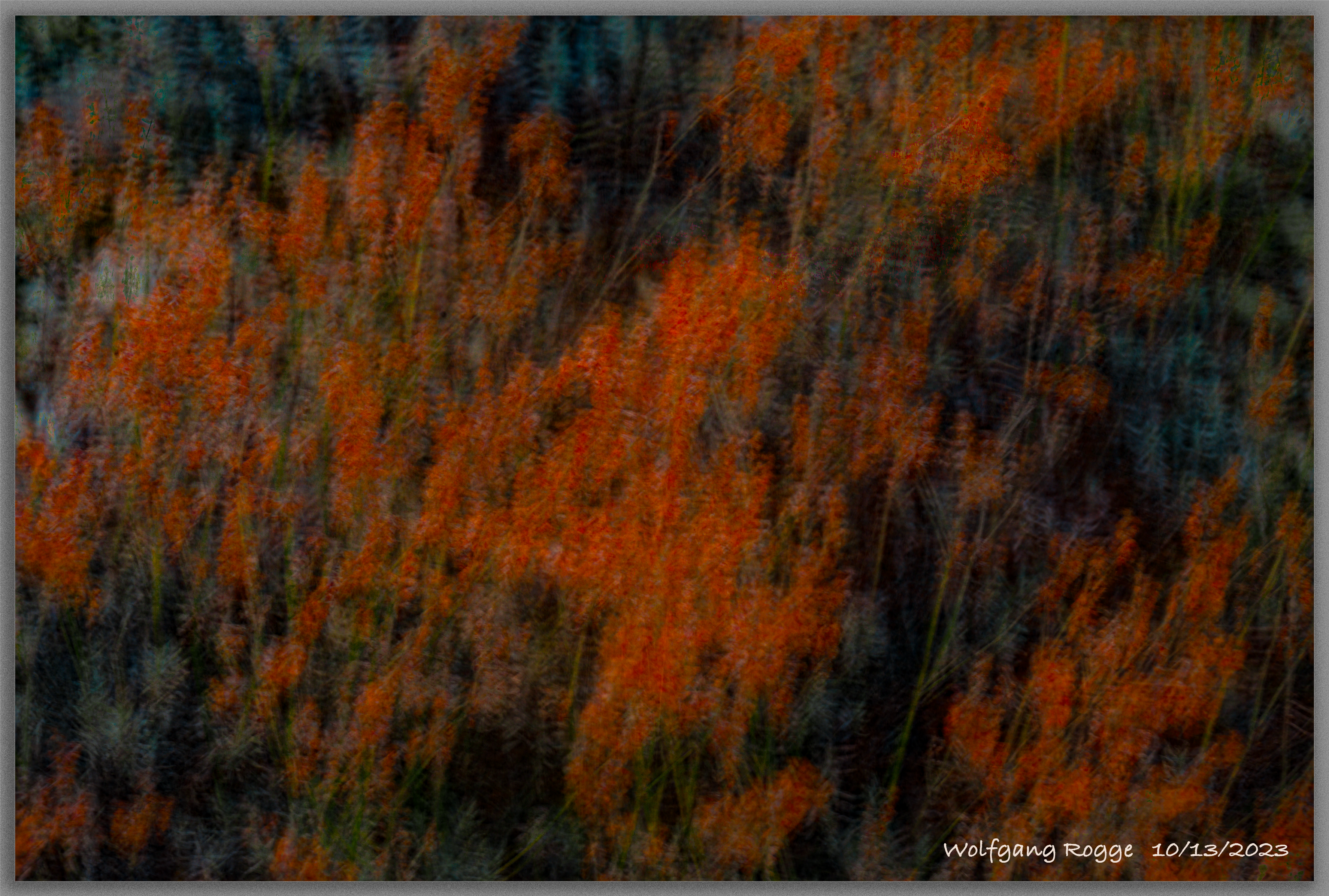
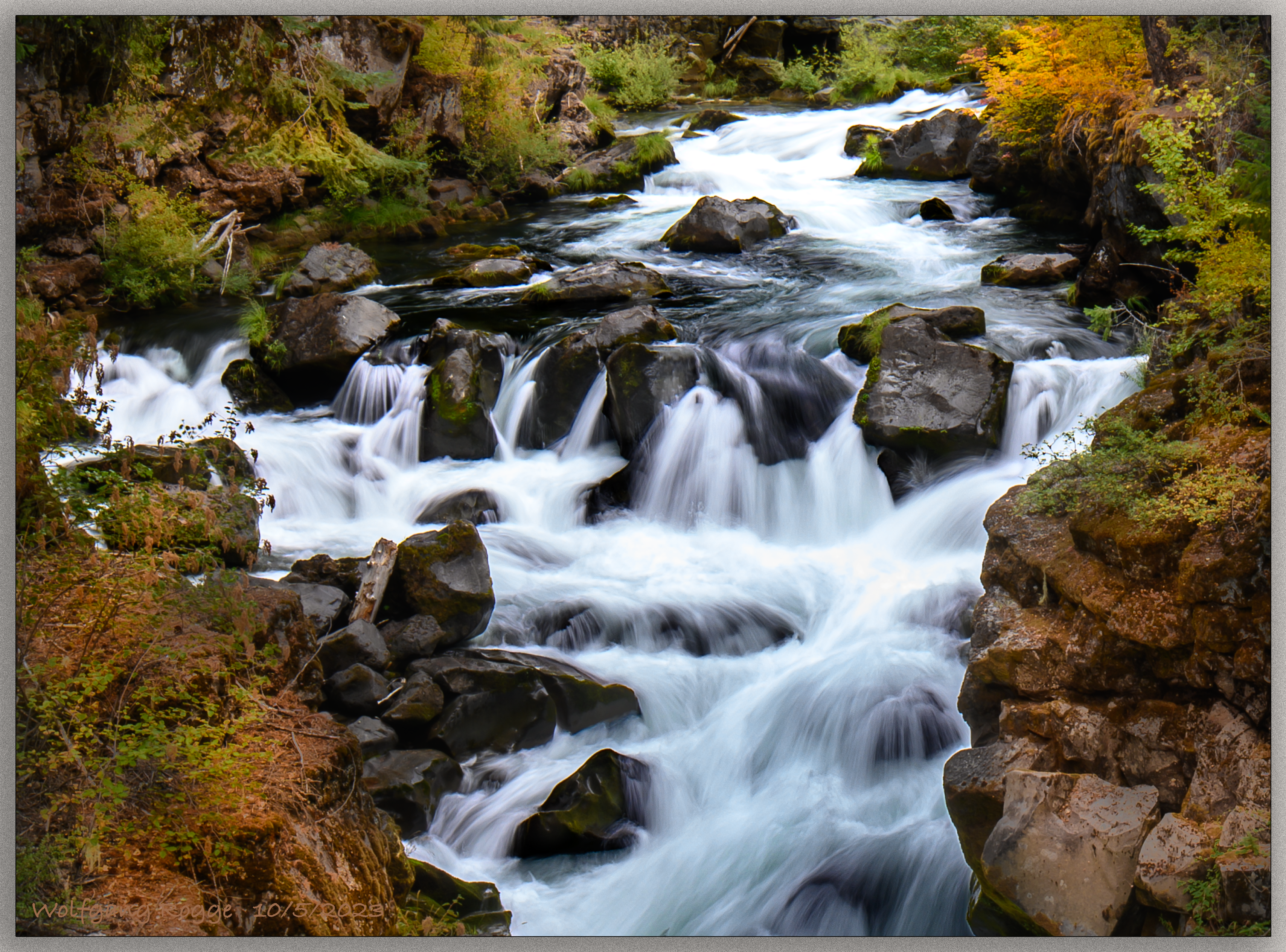
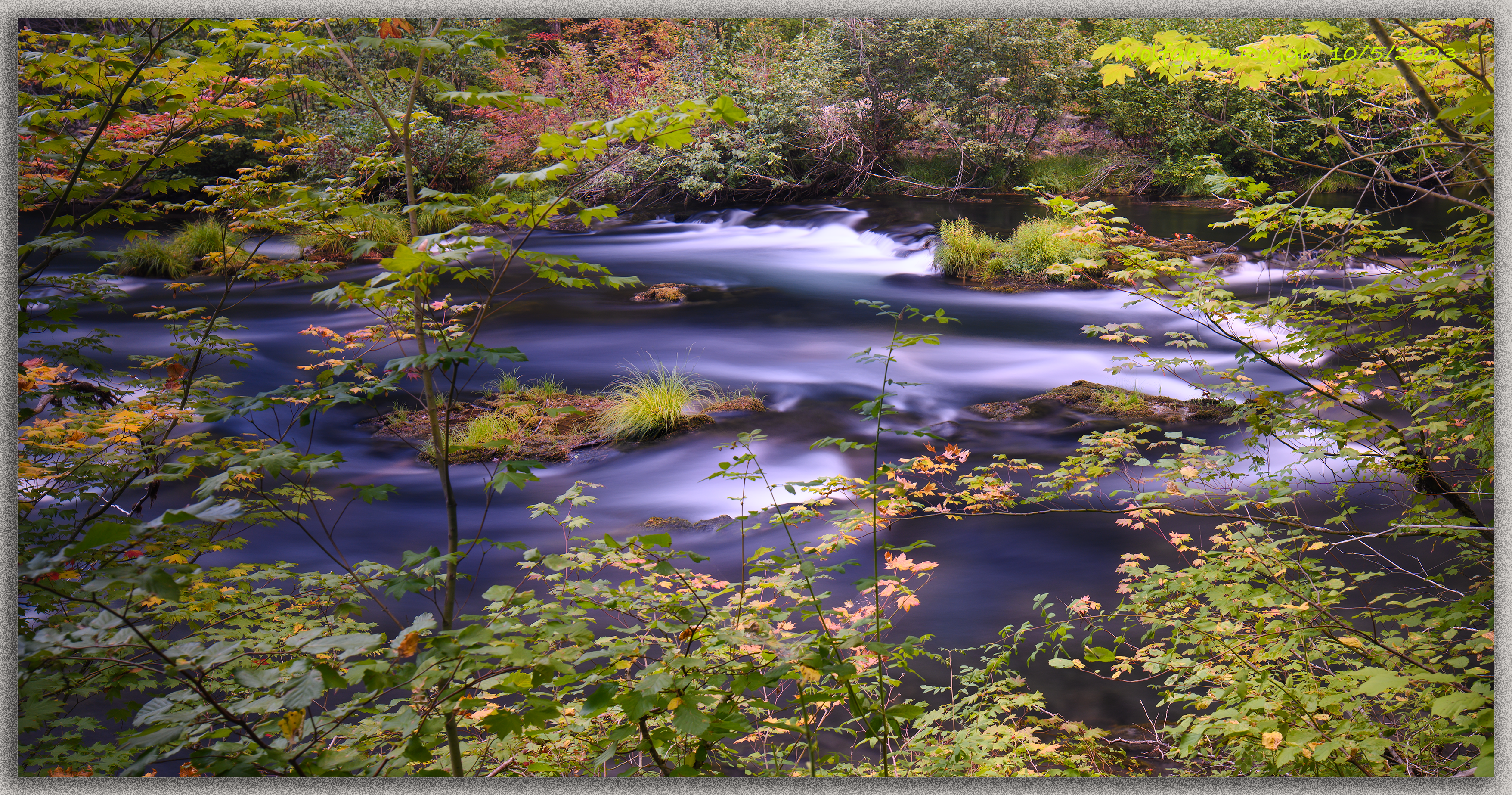
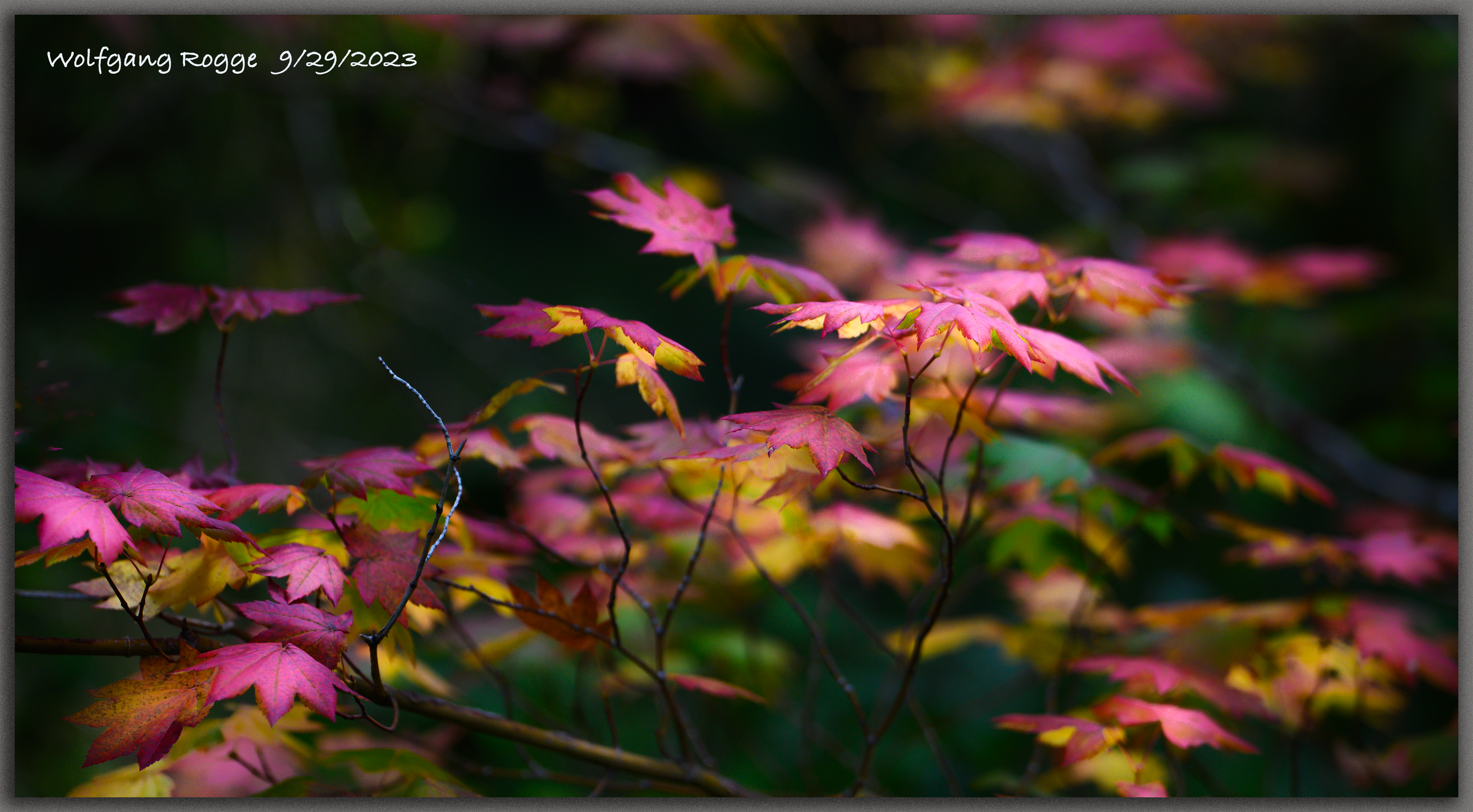
When visiting the Crater Lake, see Photos last week, we camped out along the Rogue River. A trail meanders along the river giving vistas on the NEW FALL Collection of Nature’s Colors.