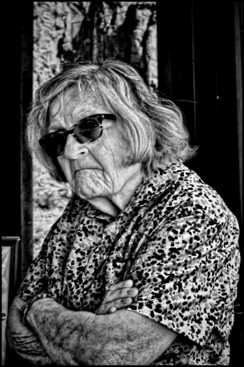
Catching a person’s facial expression can be challenging. I felt extremely lucky getting this image from an elderly lady. I was sitting on a bench as she walked by looking at a bulletin board when I photographed her. Enjoy!
Photos are meant to be shared
Catching a person’s facial expression can be challenging. I felt extremely lucky getting this image from an elderly lady. I was sitting on a bench as she walked by looking at a bulletin board when I photographed her. Enjoy!
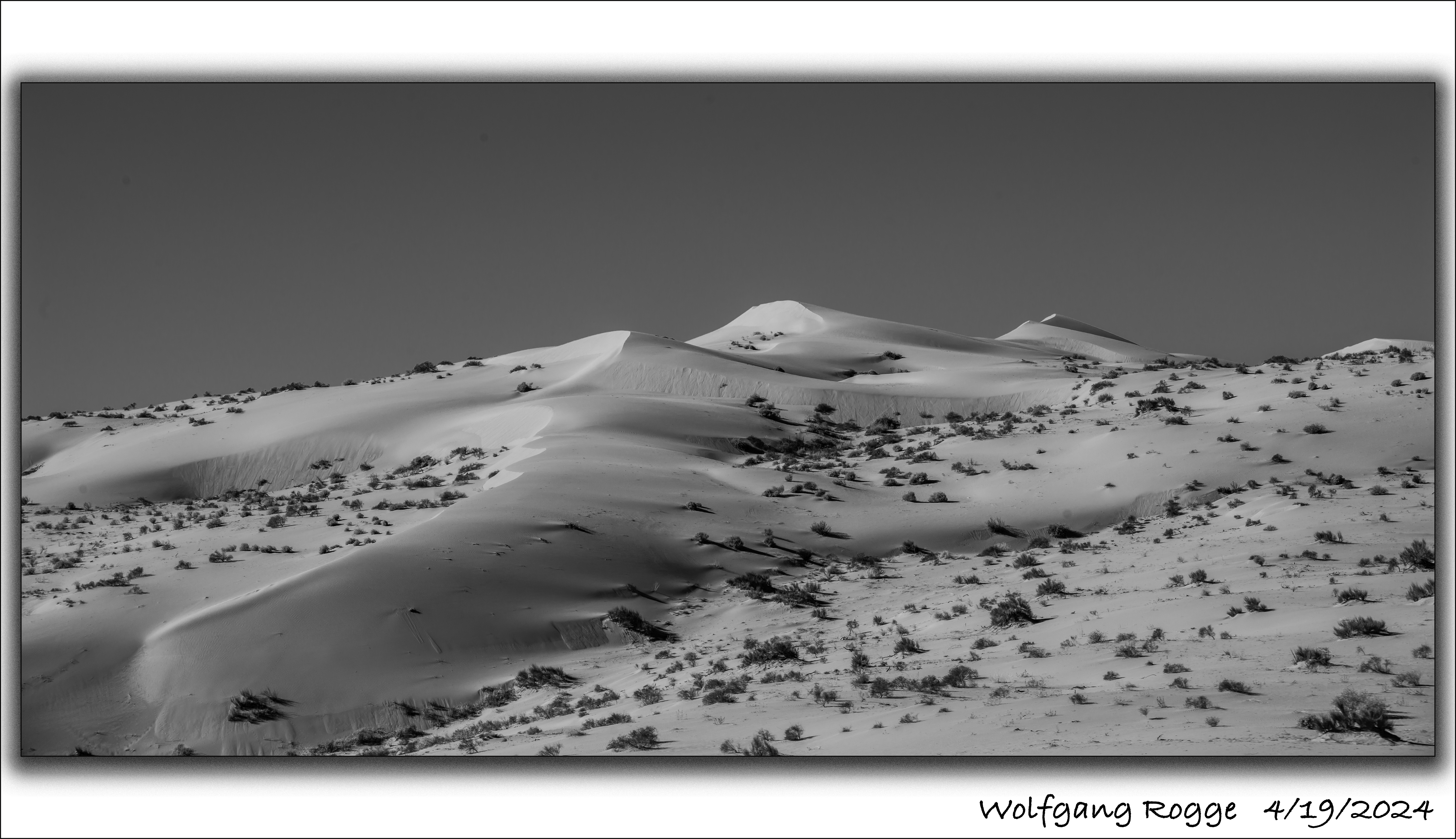
The Algodones Dunes are a large sand dune field (45 miles by 6 miles) in the southeastern portion of California, east of the present day Salton Sea (currently -236 ft below sea level). Typically, the Colorado River flows south to the Sea of Cortez (Gulf of California). But, once in a while, due to several reasons, the ancient Colorado River spilt into the present day Salton Sea area and a freshwater lake developed, called Lake Cahuilla. The last Lake Cahuilla covered much of the Imperial, Coachella, and Mexicali Valley, and occurred as late as 1450. The most popular theory suggests that the Algodones Dunes formed over thousands of years from the windblown beach sands of landlocked Lake Cahuilla, especially when it’s water slowly evaporated and the aeolian processes picked up the finer sediments in this forming arid environment.
Today, the Algodones Dunes is used by men and women who are in need of driving sand buggies around and around until all beer is spilt or the gasoline tank is empty. Luckily, some parts are closed off for sand buggies. The photo shown here is from the closed off area.

I had a blast photographing at the Fremont Street Experience in Las Vegas, an open Mall with an incredible night life. Enjoy!
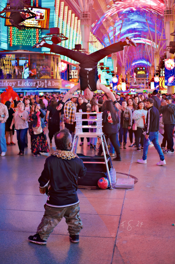
Walking through downtown Las Vegas I discovered this artist. Enjoy!
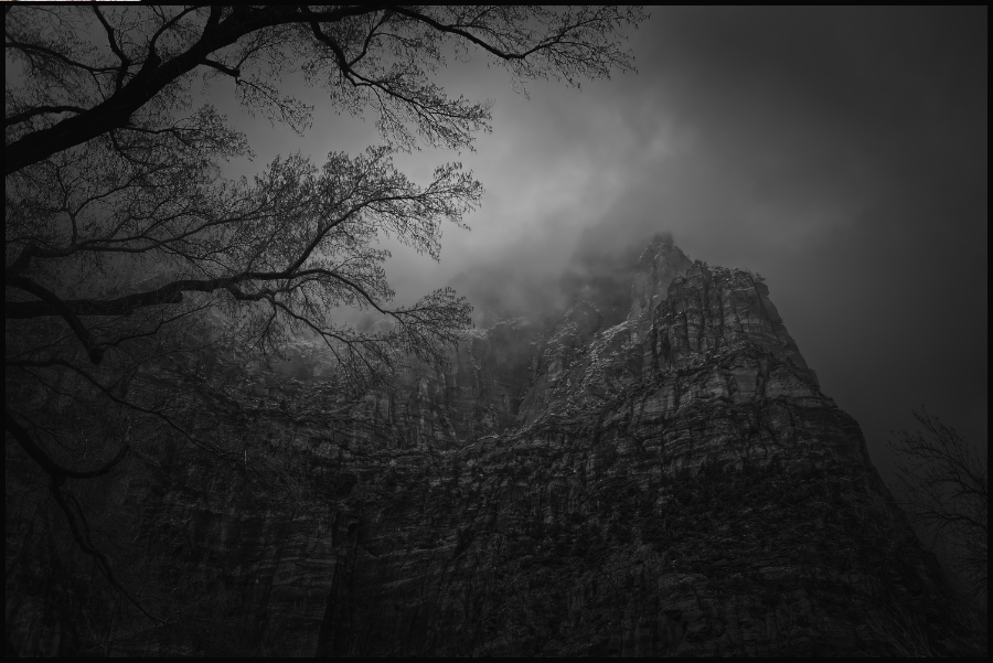
“Bad weather makes great images!” I had a chance to proof it during my last visit to Zion NP. I was hoping for nice Spring weather instead I woke up to snowflakes and rapidly moving clouds. Once in a while there was a lighter moment and the sun almost peaked through.
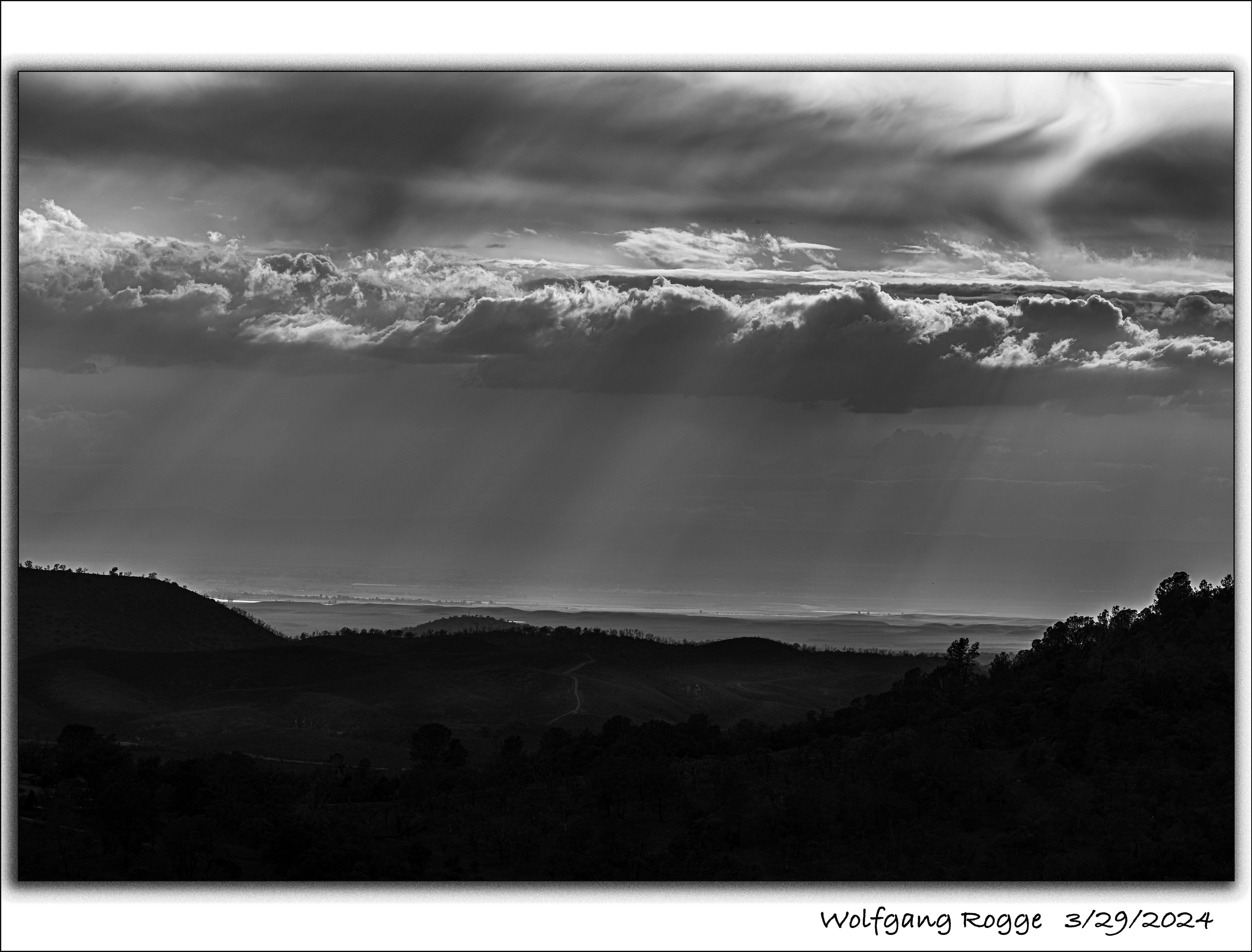
Living up on 1000+ Meters, at times I observe dramatic views down into the Valley.
…
..
.
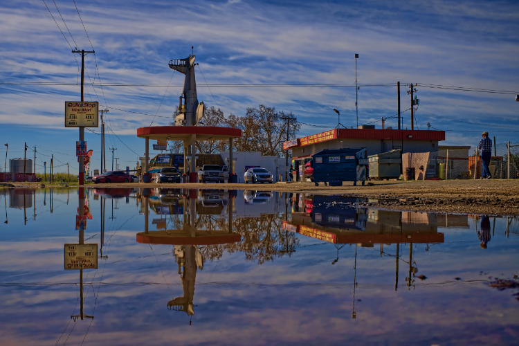
People develop quite a bit of fantasy to draw attention to their business like this owner of a service station in Caruthers, CA. There was a big puddle in front of the place which gave me the opportunity to photograph the place with a nice reflection.
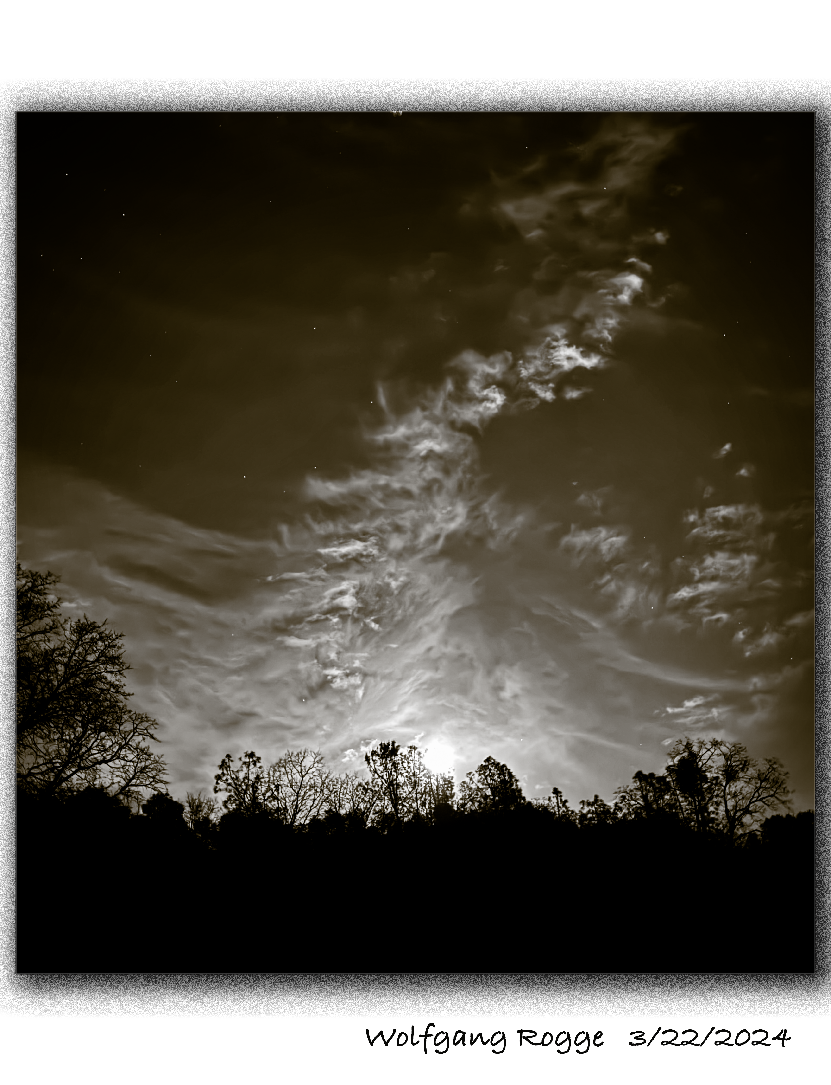
The moon is rising
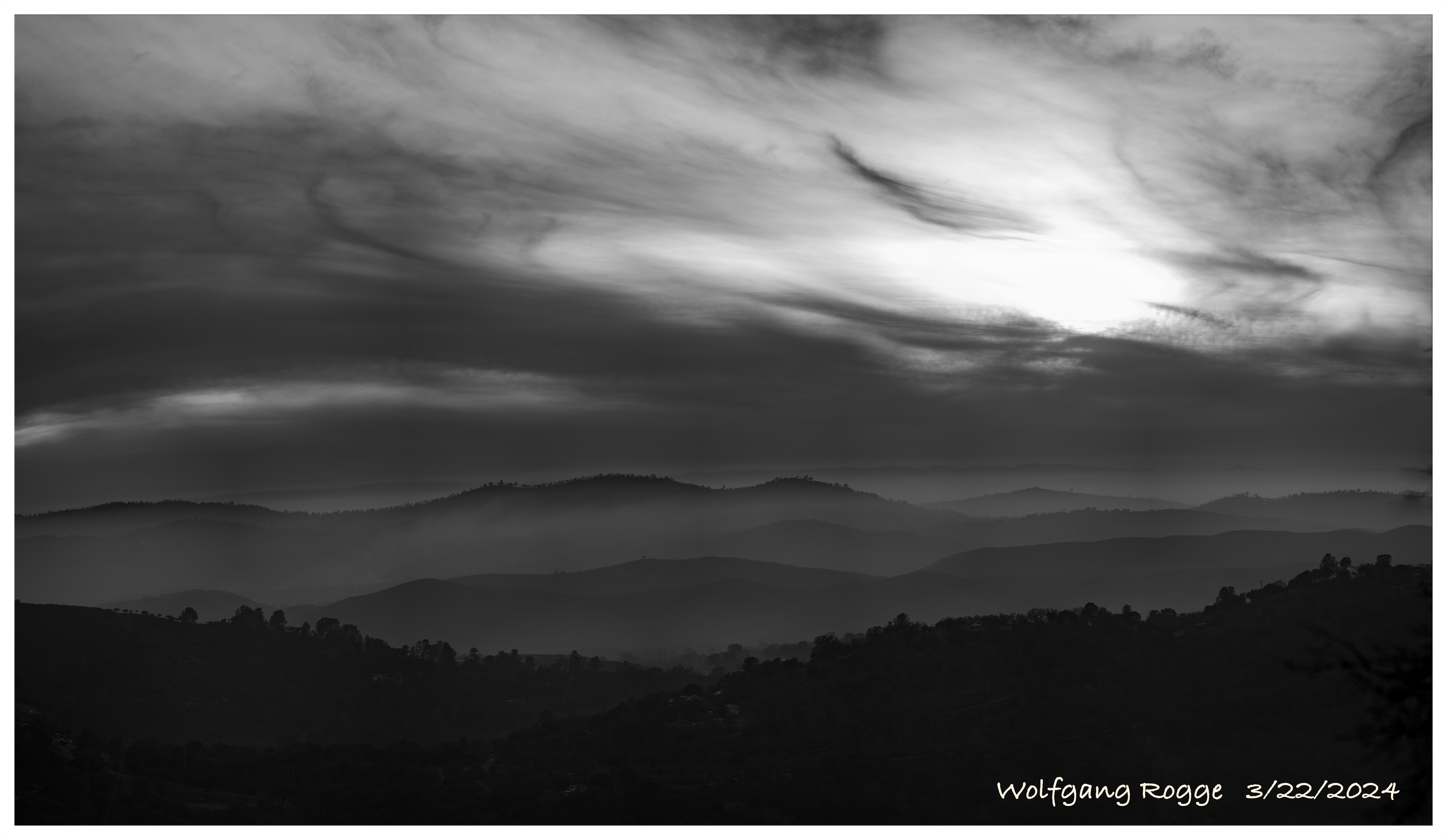
Clouds fight the Sun
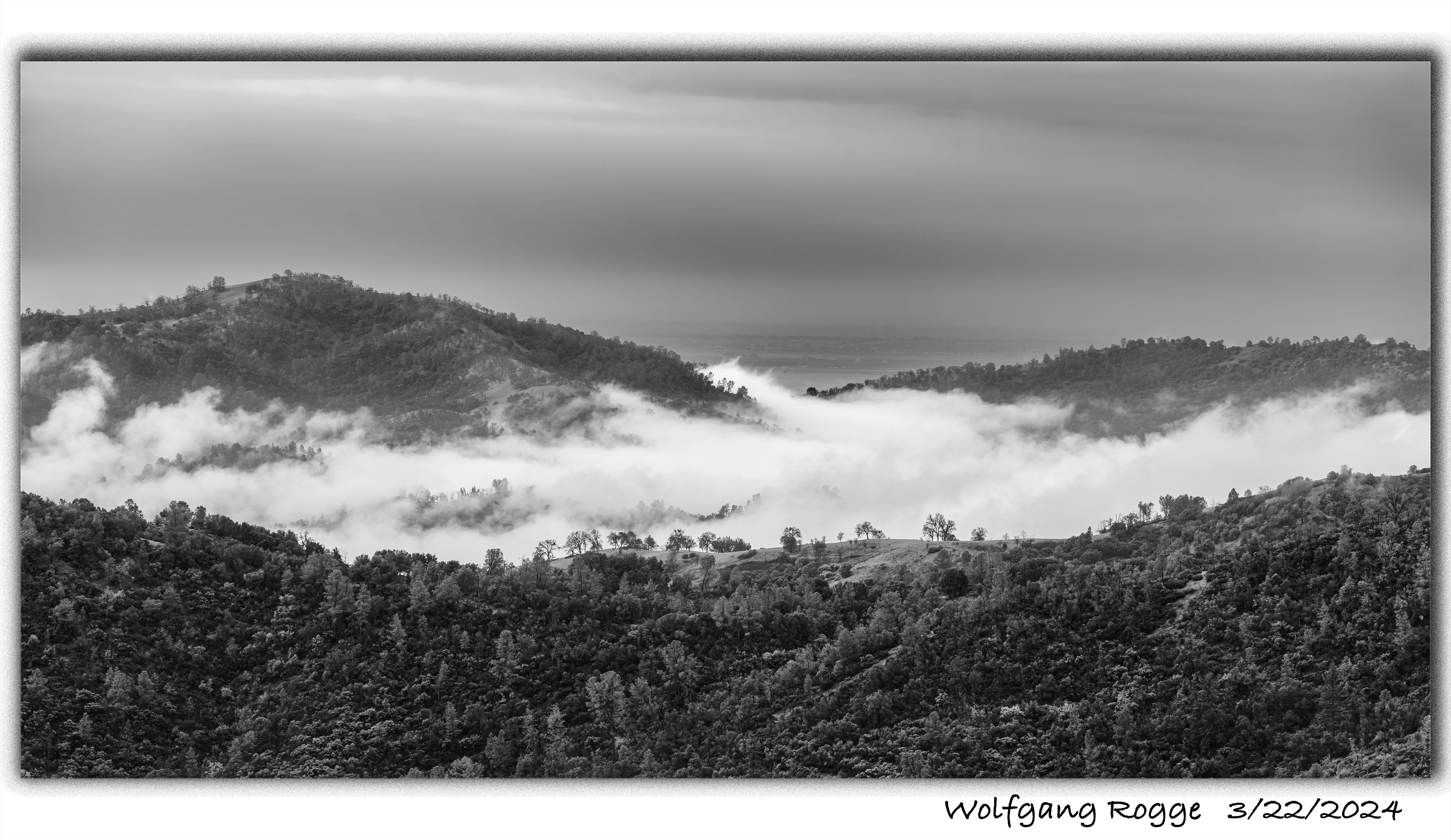
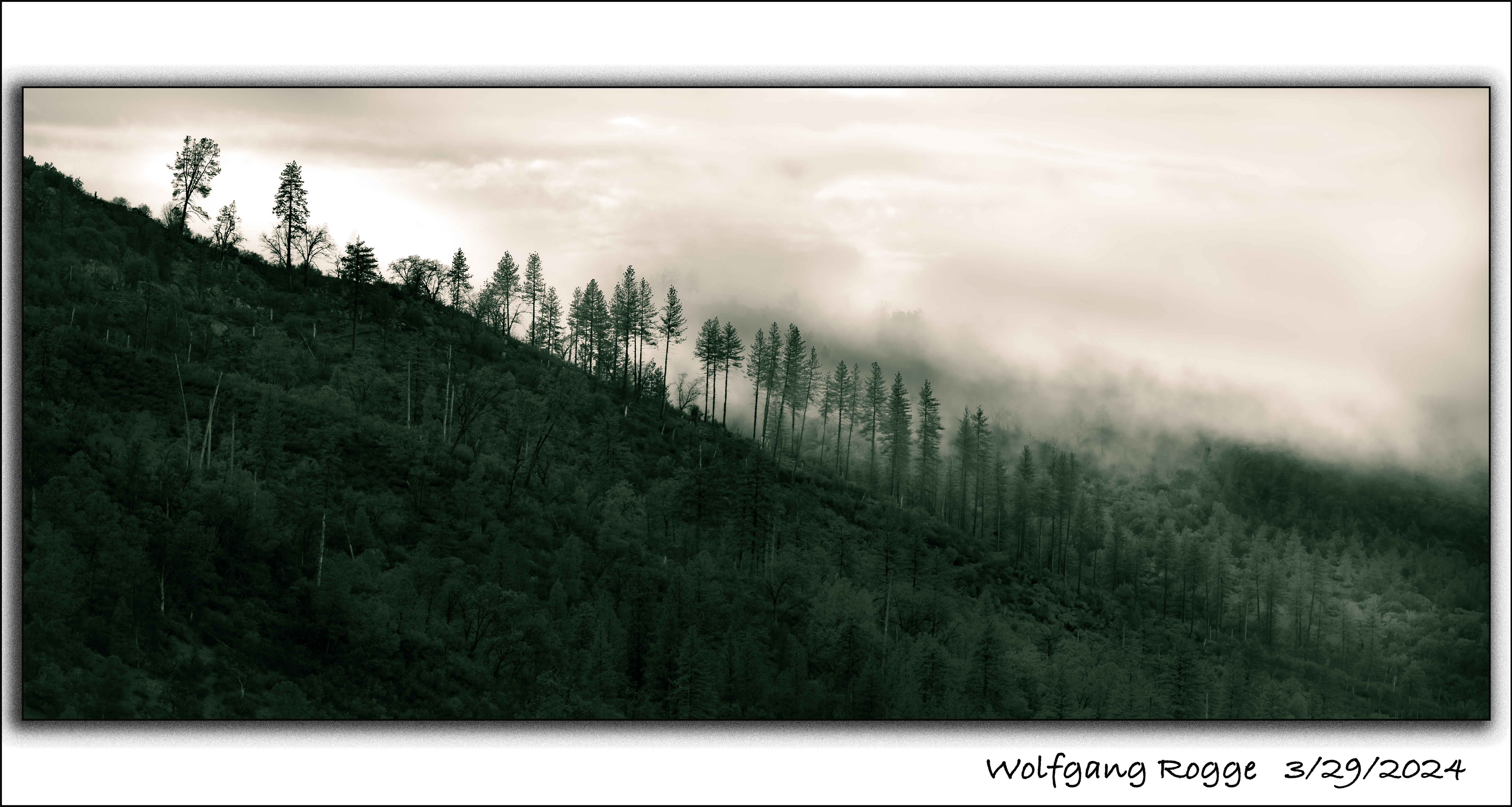
Early morning Fog
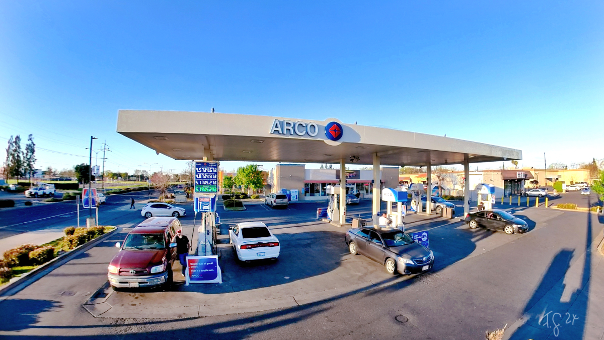
I love photographing at a service station. There is so much to see. In this image the gentleman standing at the red car must have spotted hoe I mounted my 360 degree camera on a ten foot pole to get this image. Enjoy!
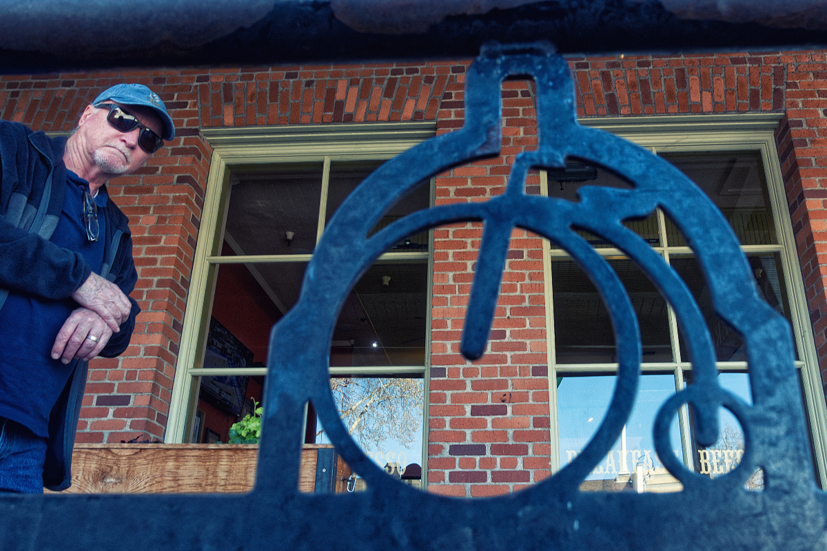
I was standing in front of this bicycle stand pretending to photograph it. In reality I was waiting for some folks walking by giving me the opportunity to photograph them. This gentleman stopped and turned towards me probably wondering what I was doing? I like the expression in his face.